Coldest air of the season arrives, could break records – Michigan braces for 18″ of snow – Widespread winter storm and freeze warnings from Southwest to mid-Atlantic – Today’s weather alerts, news, and forecast.
NWS weather alerts for Monday
Here are the latest weather alerts from the national weather service (NWS) for Monday.
Winter storm warning: northern Michigan; north-central, east-central Wisconsin.
Winter weather advisory: northeast Minnesota, northern Wisconsin, northern Michigan.
Hard freeze warning: northern Michigan.
Freeze warning: southern Wisconsin; eastern Colorado; southern Nebraska; Kansas; northeastern Oklahoma; Missouri; central and southern Illinois; central and southern Indiana; Southeastern Ohio; Kentucky; Tennessee; northern and central Arkansas; northern Mississippi; northern Alabama; northern Georgia; western South Carolina; western North Carolina.
Freeze watch: Central and northeastern New Mexico; southern Kansas; Oklahoma; central and southern Arkansas; eastern Louisiana; Mississippi; Alabama; northwestern Georgia; western South Carolina; central and western North Carolina; southwestern Virginia; western, northern, and eastern West Virginia; Ohio; western Maryland; western, central, and northern Pennsylvania.
Frost advisory: eastern Colorado.
Flood watch: eastern and northern Maine; northern Michigan.
Coldest air of the season arrives, could break records
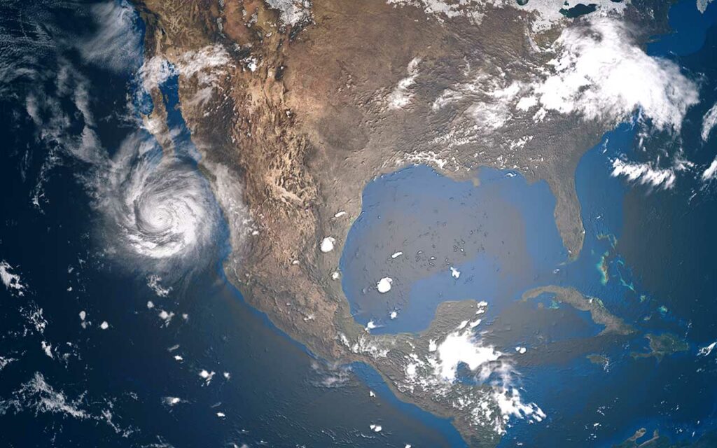
The coldest air of the season will arrive tonight across middle America and over the Great Lakes region. The chill will spread horizontally across the country’s midsection, extending into the South all the way to the Gulf.
Freeze and frost watches and warnings extend from the Southwest to the Southeast and the mid-Atlantic, affecting at least 29 states (see alerts above).
Some states could see cold records broken. Several Iowa cities are starting Monday with wind chills down in the teens and could see cold records broken this week, KWWL reported.
Michigan braces for 18″ of snow, other areas could see early snowfall
A blast of cold air very early in the season will set off a heavy snow event in the Upper Peninsula of Michigan where up to 18 inches of snow could fall between Sunday evening and midday Tuesday, MLive reported. Winter-related alerts are in effect throughout the state (see alerts above).
Areas of Wisconsin were already seeing lake effect snow building in the Northwoods early Monday, WAOW reported.
Some areas could see records broken for the earliest date for one inch or more of snowfall. One of those areas is Cincinnati, where the current record for earliest snowfall is October 19, 1989, which saw 5 inches, the Cincinnati Enquirer reported.
Another location is Chicago, which could see snow on Monday, however, it won’t break the record which is September 25. The average date for the earliest snowfall in the Windy City is October 31, NBC 5 Chicago reported.
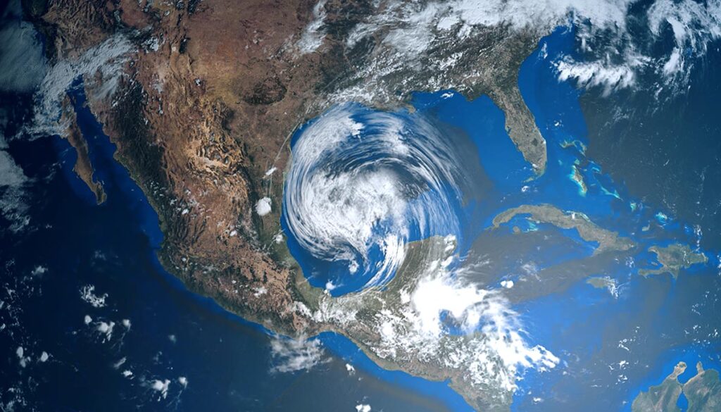
Monday forecast: Thunderstorms along the Gulf and Atlantic
Thunderstorms across central and southern Texas into Louisiana and along the Gulf Coast, as well as for the Gulf Coast along Florida. Thunderstorms will blanket the sunshine state and stretch along the Atlantic over the Southeast into the mid-Atlantic and Northeast.
Rain over the mid-Atlantic and Northeast, heavy over Maine where a flood watch is in effect. Rain over eastern Arizona, most of New Mexico, and western, central, and northwestern Texas.
Mixed precipitation over the Great Lakes, Ohio Valley, and into the mid-Atlantic could bring snow and lake-effect snow.