Unsettled weather is moving across the Northeast and the Great Lakes – Winter weather alerts for 7 states in the West – Monitoring 2 systems in the Atlantic into next week – Today’s weather alerts and forecast
Today’s NWS weather alerts
Here are Wednesday’s weather alerts from the National Weather Service (NWS).
Winter weather advisory: southeastern and southwestern Washington; northeastern and north-central Oregon; northern Idaho; western Montana; northeastern Utah; northwestern and north-central Colorado.
Hard freeze warning: north-central Utah.
Freeze watch: northeastern and northern California.
Frost advisory: southwestern Oregon.
High wind warning: central and northwestern Montana.
Flood watch: northern, southern, and coastal Maine; southeastern New Hampshire.
Flood advisory: southern New Hampshire.
Today’s weather forecast: Unsettled weather in Northeast, Great Lakes; Snow in the West
Here is Wednesday’s forecast from the National Weather Service (NWS).
Unsettled weather in the Northeast and Great Lakes
An active weather pattern set up will send a storm moving across the Great Lakes region and the Northeast on Wednesday, delivering a solid covering of rain over much of the Ohio Valley, mid-Atlantic, and Northeast. Temperatures will be above average ahead of the cold front, Fox reported.
Snow in the West
At least seven states in the West are under some type of winter alert from the National Weather Service (see alerts above) and eight Western states could see mixed precipitation on Wednesday.
As of Wednesday, Snoqualmie Pass in Washington was already receiving a couple of inches of heavy, wet snow. South into the east, Denver saw a fresh blanket of snowfall in the mountains from west of Idaho Springs to Parachute and areas both north and south, like Steamboat Springs and Silverton, KDVR reported. Snow is predicted between one to three inches of accumulation on Wednesday, and to continue through Thursday with another one to three inches.
US forecast for Wednesday
Wintry mix: Mixed precipitation is forecast over much of Washington, Oregon, all of Idaho, western Montana, southern Wyoming, northeastern Nevada, much of Utah, and western central and north central Colorado.
Snow: Is forecast over portions of western and south-central Montana, southeastern Idaho, and northwestern Wyoming, while heavy snow in spots over southwestern and northeastern Oregon.
Rain: Is forecast over much of South Dakota and Nebraska, into southwestern Minnesota, northwestern Iowa, and north central and northwestern Kansas. In the East, rain over the Great Lakes region over much of Michigan, Indiana, Ohio, West Virginia, and parts of northern Virginia. Widespread rainfall throughout the mid-Atlantic and Northeast.
Thunderstorms: Are forecast over along the Gulf Coast from Central Florida to the north, as well as over northern Florida into southeastern Georgia.
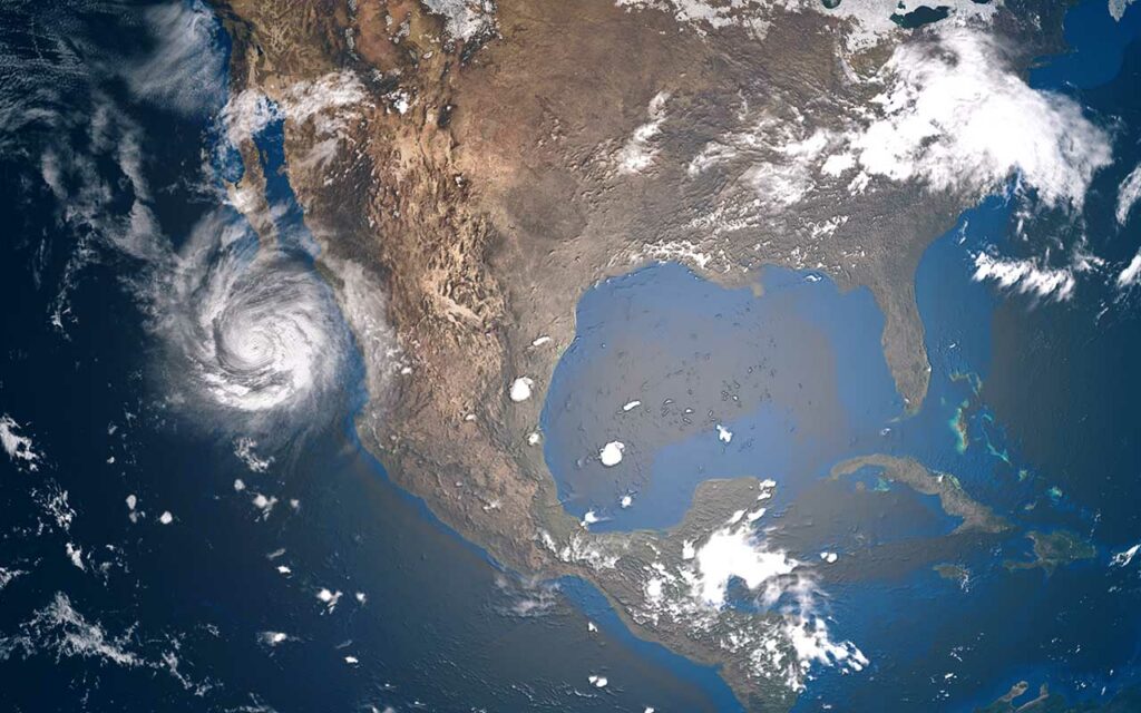
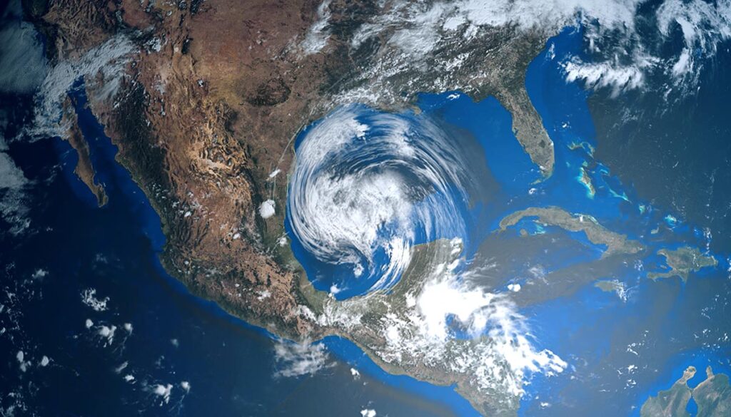
Monitoring 2 systems in the Atlantic into next week
The National Hurricane Center (NHC) is monitoring two systems, one in the Atlantic and another in the Caribbean.
“Disturbance 1” in the southwestern Atlantic has a 20 percent chance of cyclone development over the next 48 hours and a 30 percent chance over the next five days. The system is currently located between the Dominican Republic and Bermuda.
“Disturbance 2” in the Eastern Caribbean has a 30 percent chance of development in the next five days as it moves westward or West-northwestward into the central Caribbean early next week. The system is currently west of the Lesser Antilles and north of Curacao.