A chance of severe weather and flooding in the central US and deep South, with a brief tornado already in Oklahoma.Two disturbances in the Atlantic, snow in the Northwest, Northeast storms, today’s weather alerts, and more.
Chance of severe weather and flooding and central US, South
Severe storms will bring the threat of damaging winds, potential flash flooding, and possible tornadoes to parts of the South-Central US and South on Monday into Monday night, Fox reported.
The Storm Prediction Center (SPC) has issued a Level 2 severe weather risk over south-central and eastern Texas into southeastern Oklahoma and Western Louisiana. Strong storms are also possible for Western Mississippi, Arkansas, and Oklahoma, with thunderstorms extending into Western Alabama, Western Tennessee, southeastern Kansas, Missouri, central and eastern Iowa, Western Illinois, Minnesota, Wisconsin, and Northern Michigan.
Tornado spins up in Oklahoma
A strong line of severe storms moved through central Oklahoma on Monday, producing a brief tornado on the west side of the Oklahoma City metro area, News 9 reported. A continued threat of brief spin-ups will continue throughout Monday into Monday night as storms move across the state.
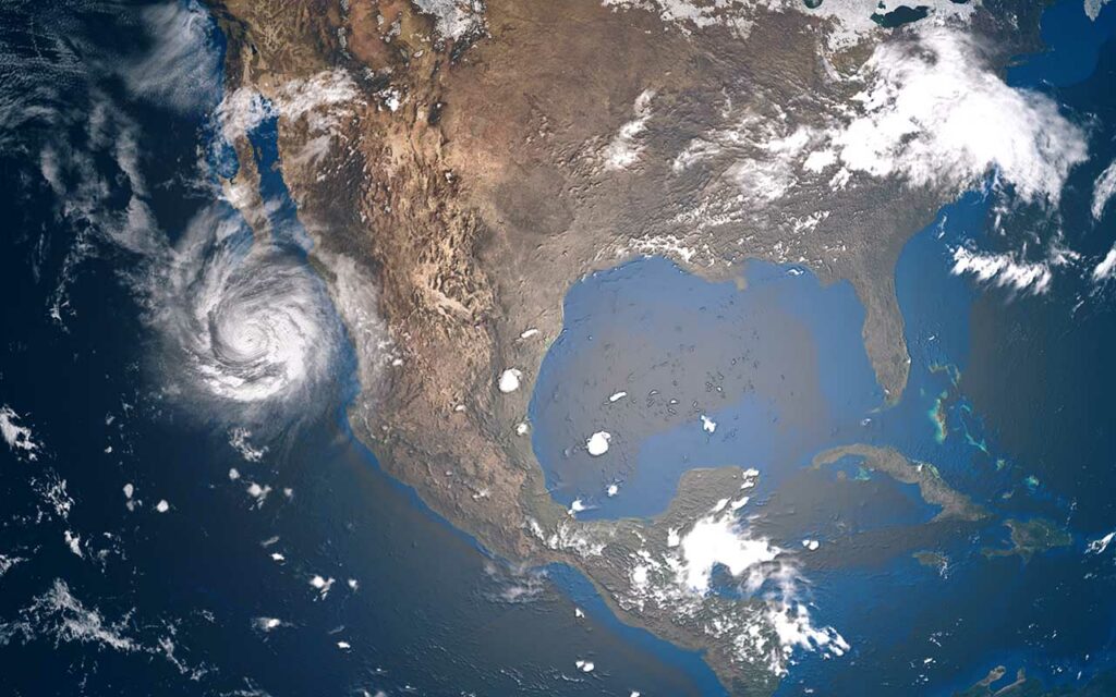
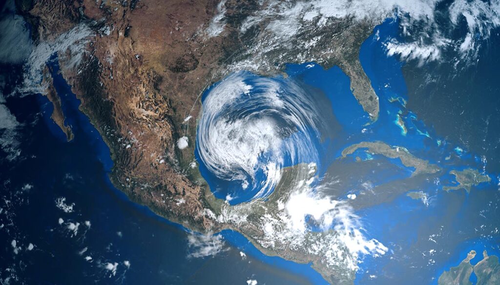
Two disturbances in the Atlantic
Forecasters from the National Hurricane Center (NHC) are watching two disturbances in the Atlantic. “Disturbance 1” has a 40 percent (medium) chance of cyclone formation in the next 48 hours. It’s currently located 150 miles east-southeast of Bermuda. “Disturbance 2” in the southwestern Atlantic has a 20 percent (low) chance of development in the next five days.
Monday’s weather alerts
Here are Monday’s weather alerts from the National Weather Service (NWS).
Winter storm warning: Northeastern and southeastern Montana.
Winter weather advisory: Eastern and Northwestern Washington; Northern and Central Idaho; western and Eastern Montana; western North Dakota; western South Dakota; western and northwestern Wyoming.
Hard freeze warning: western, north-central, and eastern Utah.
Freeze warning: northwestern California; southwestern Oregon; southwestern Idaho; eastern Utah; northern, north-central, eastern, and southeastern Arizona; western and northeastern Colorado; north-central New Mexico.
Freeze watch: southeastern Colorado; northeastern; southwestern and southeastern New Mexico; northern Texas; western Oklahoma.
Frost advisory: western California and coastal areas.
High wind warning: southeastern Wyoming; southwestern South Dakota; western Texas.
Wind advisory for portions of southern California, New Mexico, western Texas; North Dakota, South Dakota, northern Minnesota, northern Wisconsin, and northern Michigan.
Severe thunderstorm warning: Texas: Dallas and Fort Worth area.
Snow in the Northwest, West, upper Midwest
Snow over the portions of the Northwest, upper with Midwest and West through Wednesday. On Monday, snow is forecast over parts of Montana, Idaho, Utah, Colorado, Wyoming, Nebraska, South Dakota, and North Dakota. Heavy snow is possible over portions of Idaho, Montana, Wyoming, and North Dakota, according to the latest forecast by the National Weather Service (NWS).
Mixed precipitation over portions of Washington, Oregon, Idaho, Montana, North Dakota, South Dakota, Nevada, Utah, Colorado, and New Mexico.
Thunderstorms in the Northeast
Thunderstorms in the Northeast along the Atlantic from Virginia to Maine, over portions of Maryland, Delaware, Pennsylvania, and New York, while throughout New Jersey, Rhode Island, Connecticut, Massachusetts, Vermont, New Hampshire, and Maine.