Why it’s raining mud in Minnesota – Severe weather and wind warning for the South – 3 disturbances in the Atlantic, partial solar eclipse on Tuesday – Today’s weather alerts and 6-day temperature outlook.
NWS weather alerts for Tuesday
Here are Tuesday’s weather alerts from the National Weather Service (NWS).
Winter weather advisory: northwest and western Washington; northwest and western Oregon; northwest and western Montana.
High wind warning: northwest Montana; southeast Wyoming.
Wind advisory: east-central and eastern Texas; southeastern Oklahoma; northern Louisiana; Arkansas; northern Mississippi; central and northern Alabama; western and central Tennessee; southeastern Missouri; western Kentucky; southern Illinois; southern Indiana.
Flood advisory: western Oklahoma.
Why it rained mud in Minnesota
A rare weather event in Minnesota caused it to rain mud. It happened because dust from ongoing droughts southwest of Minnesota was picked up by strong 40 mph southwest winds ahead of an advancing cold front, according to the University of Wisconsin-Madison’s NOAA Cooperative Institute for Meteorological Satellite Studies, Fox 9 reported. As the dust mixed with a little bit of rain, it resulted in a rain of mud being caked on cars across the Twin Cities metro area.
Severe weather and wind warning for the South
Thunderstorms over the South, Midsouth, and Ohio Valley on Tuesday could stir up some severe weather.
The National Hurricane Center (NHC) has issued a Level 2 severe weather risk over parts of the South and mid-South for Tuesday. The affected regions include eastern Mississippi, most of Alabama, western and central Tennessee, and southwestern Kentucky. Strong storms throughout the region will also include the above and parts of southeastern Louisiana, much of Mississippi, Alabama, and Georgia, the Western Florida Panhandle, and portions of southeastern Missouri, southern Illinois, southern Indiana, much of Tennessee, and into southwestern North Carolina.
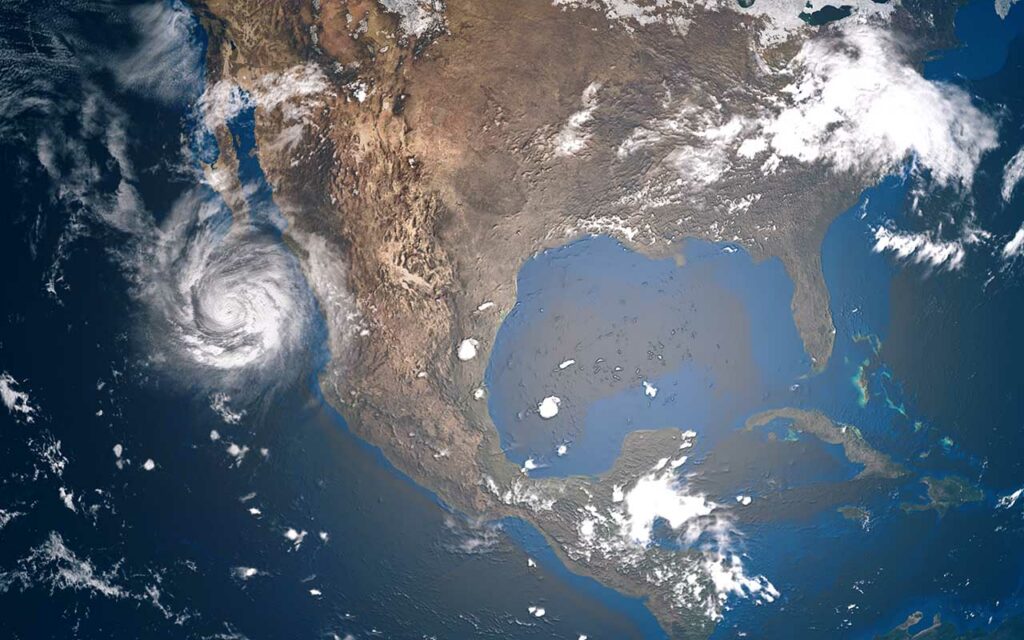
3 disturbances in the Atlantic, tropical development possible, could move toward US
The National Hurricane Center (NHC) is monitoring 3 disturbances in the Atlantic. “Disturbance 1” in the northwestern Atlantic has a 40% chance of cyclone formation in the next 48 hours and 5 days. It’s located just west-northwest of Bermuda. “Disturbance 2” in the southwestern Atlantic located midway between Puerto Rico and Bermuda has a 30 percent chance of cyclone formation in the next 5 days. “Disturbance 3” in the Eastern Caribbean has a 20% chance of development over the next 5 days.
Partial solar eclipse on Tuesday
A partial solar eclipse will begin on Tuesday, October 25, at 4:58 AM EDT when the moon passes in front of the sun and will end at approximately 9:01 EDT, space.com reports. Will be visible in parts of Europe, Western Asia, and Northeast Africa. Viewers and the US may miss this event. A solar clip occurs when the moon slips between Earth and the sun casting a shadow on the planet and fully or partially blocking sunlight. The October 25 partial eclipse is the second of 2022, with the last current on April 30.
If you missed it in person, you can see it online here.
The 6-day temperature outlook
Here is the 6-10 day temperature outlook across the US broken down by region:
Northwest: near normal temperatures.
West: near normal temperatures
Southwest: Below normal.
Midwest: Above normal.
Upper Midwest: Much above normal.
South-Central US: Above normal.
South: Above normal.
Ohio Valley: Much above normal.
Mid-Atlantic: Much above normal.
Northeast: Much above normal