Meteorologists say there are two rare weather phenomena that will blow your mind. These types of clouds have people on the ground reporting them as UFOs! One type is called lenticular clouds and the other is “hole-punch” clouds.
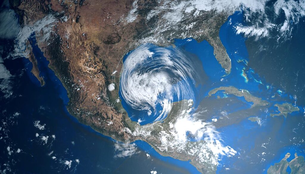
What these satellites captured aren’t UFOs – They’re holes in the clouds
A rare and alien-looking weather phenomenon is often reported by people on the ground as UFOs, but meteorologists say these perfectly shaped round holes are a phenomenon called “hole-punch clouds.”
Meteorologists also call this rare sight a “fallstreak.” From the ground, they look disc-shaped, and the light from the sun coming through can make them appear illuminated. Ditto for nighttime with moonlight.
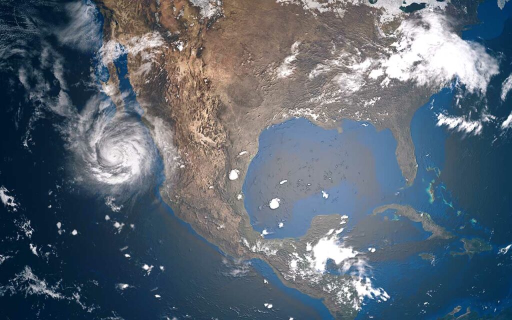
Recently, an NOAA satellite passing over Michigan captured numerous holes opening up as clouds rolled by. The visual effect was that of a swarm of UFOs or their portals, Kentucky.com reported.
These clouds are often seen by airline pilots. In fact, scientists say these so-called fallstreak holes are the result of a chain reaction started by passing aircraft.
The large circular holes or “elliptical gaps” appear in certain types of high clouds that are formed out of super-cooled water droplets, meaning they are composed of water below the freezing point (30°F), but are still in liquid form, according to the NOAA. When something such as an aircraft disturbs the cloud, “this can trigger the droplets to turn into tiny ice crystals. As they quickly grow and absorb nearby water droplets, they become heavier and begin to fall, leaving a hole behind.”
Is that a spaceship? No, it’s a lenticular cloud!
Another type of rare cloud, which actually takes the circular shape of a flying saucer, is known as a lenticular cloud. They commonly form over mountainous regions, particularly the Rocky Mountains in the US, shaped by the high-speed winds that ricochet over tall peaks, Live Science reports.
According to the National Weather Service (NWS), when a strong when blows into any tall obstruction, such as a skyscraper or the side of a mountain, it deflects the wind, forcing it into a wave that crests over the top of the object, then dips down on the other side, and rises up again.
In this upward-moving part of the wave, the air cools until it condenses into clouds.
Then, when the air descends again on the downward-moving side of the wave, the cloud evaporates.
The result of these forces is the formation of a stationary cloud, sculpted into a saucer shape by the wind that constantly rises and falls within it.