A shift in the weather pattern is going to bring cooler air, while Ian’s remnant to bring mid-Atlantic rain through midweek. Two disturbances brewing in the Atlantic, and Mexico’s hurricane to affect Southwest. See Today’s alerts and forecast.
NWS weather alerts for Monday
Here are Monday’s weather alerts from the National Weather Service (NWS).
Storm warning: Coastal areas of Virginia, Delaware, and Maryland.
Coastal Flood Warning: New Jersey, Delaware, and Maryland.
Coastal flood advisory: North Carolina and northern Florida.
Flood watch: Central and northern Arizona.
Weather pattern shift to bring cooler air
A weather pattern change is coming that will bring cooler air to the northern half of the middle of the country by midweek, as well as to the Ohio Valley, mid-Atlantic, and Northeast by late week, the Weather Channel reports.
Ian remnant to soak Southeast, mid-Atlantic, Northeast through midweek
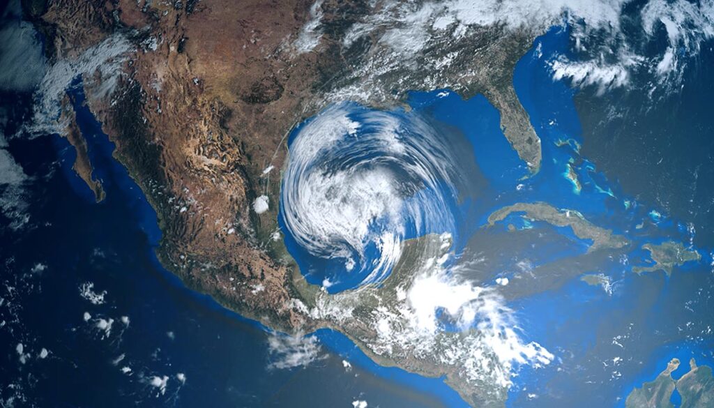
The remnant of Hurricane Ian is going to park itself off the northern Atlantic coast, where this still-powerful storm will impact parts of the Southeast, mid-Atlantic, and Northeast. Those regions will see rain through midweek, the Weather Channel reports. On Monday, the impacted areas will include parts of North Carolina, Virginia, West Virginia, Maryland, Delaware, Pennsylvania, New Jersey, New York, Connecticut, and Rhode Island. On Tuesday, to expand to include parts of Massachusetts and New Hampshire. By Wednesday, to include parts of Maine.
Hurricane Orlene in Mexico to affect US Southwest for several days
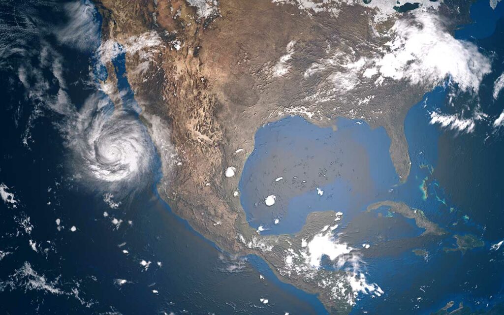
Hurricane Orlene in the Pacific made landfall on Monday as a Category 1 storm slightly north of Guadalajara, Mexico, bringing heavy rain and storm surge, USA Today reported. The storm previously reached Category 4 status on Saturday with 130 mph winds. The storm will affect the US Southwest for several days, at least through mid-week, bringing thunderstorms to Arizona, New Mexico, Utah, and Colorado (see weather alerts above) and parts of the Midwest.
Two disturbances strengthening in the Atlantic
The National Hurricane Center (NHC) is watching two disturbances in the Atlantic that are strengthening with increasing chances of development. “Disturbance 2” north of western South America is moving toward the Caribbean with a 40% chance of cyclone development over the next five days and the likelihood of forming into a tropical depression over the next several days. “Disturbance 1” east of Western Africa and South-Southwest of the Cabo Verde Islands has a 70% chance of cyclone development over the next five days, according to the NHC.


