Much of the US will see above-normal temperatures for October. Experts say the Florida street shark video is real (for once). Two systems in the Atlantic are ramping up, plus today’s weather alerts and forecast.
Fact Check: Shark Swims Along Flooded Florida Street
Every time big storms flood neighborhoods near the coast, someone posts a video claiming a shark was spotted swimming through city streets. Almost always, those videos turn out to be fake. But this time, it really happened, according to fact-checkers from Snopes and the Associated Press. Taken in Fort Myers, Florida, during hurricane Ian, this video of a shark is officially real.
Today’s weather alerts
Here are Tuesday’s weather alerts from the National Weather Service (NWS).
Coastal Flood Warning: New Jersey, Delaware, southeastern Pennsylvania, and eastern Maryland.
Coastal flood advisory: New Jersey, Delaware, southeastern Pennsylvania, eastern Maryland, southeast Georgia, and northeast Florida.
October forecast: Above-normal temps for much of US
Although a weather pattern shift will move colder air into the upper Midwest by midweek (and to the Ohio Valley, mid-Atlantic, and Northeast by late week), the overall weather pattern for October will bring above normal temperatures to much of the US, the Weather Channel reports.
In general, the mid-central and north-central regions of the country are expected to experience the most above-average temperatures, particularly the Dakotas, Minnesota, Wisconsin, and northern Michigan. Above average temps for northern areas of the West and Northwest, as well as Ohio Valley and Northeast. To the far West and Southwest, near-average temperatures. Near-average temperatures for most of the deep South and Southeast.
Atlantic disturbance strengthening, 2 systems now active
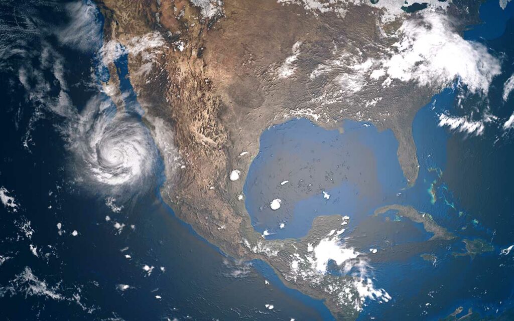
“Disturbance 1” in the Atlantic, located West-Southwest of the Cabo Verde Islands, has strengthened to an 80% chance of cyclone formation in the next five days, according to the National Hurricane Center (NHC). The storm is currently moving Northwest at roughly 10 mph. A second system, “Disturbance 2” has a 40% chance of development over the next five days and is located a few hundred miles east of the southern Windward Islands. The tropical wave is moving westward at roughly 15 mph and tracking toward the Caribbean Sea.
Today’s forecast
Here is Tuesday’s forecast from the National Weather Service (NWS).
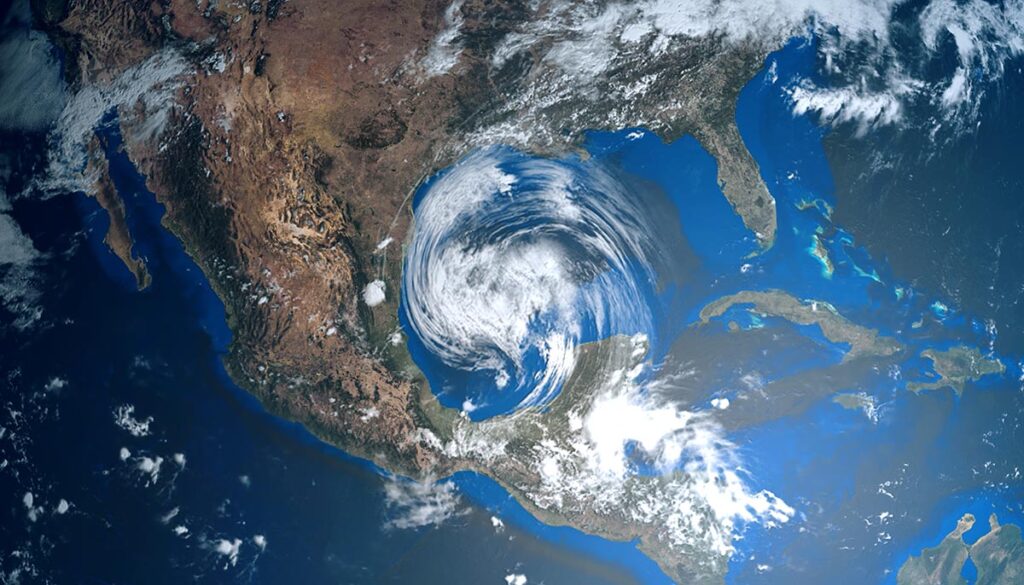
The remnants of Hurricane Ian will continue to bring thunderstorms and heavy rain with potential flash flooding to parts of the mid-Atlantic (see alerts above).
Rain along the coast of Florida from Orlando to Miami.
Thunderstorms for parts of the West, Southwest, and upper Midwest. Portions of Texas, Arizona, New Mexico, Utah, Colorado, Oklahoma, Kansas, Nebraska, the Dakotas, Iowa, and Minnesota may be affected.


