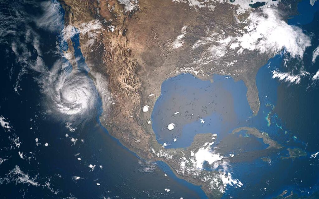
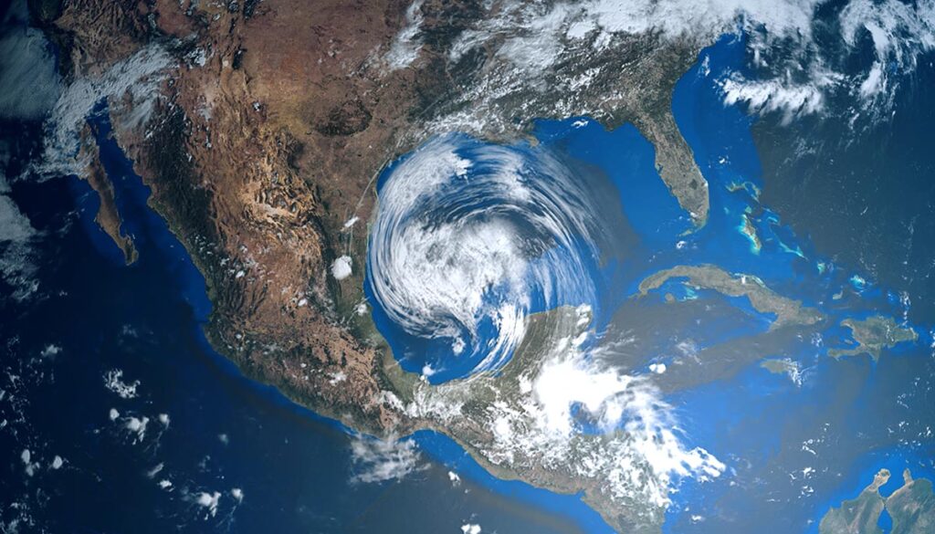
A tropical depression could form this week in the Gulf of Mexico, while strong winds in the central US could be damaging and ramps up fire danger. Flood watch in southern California as well as the first snow near Vegas. Your alerts and forecast.
NWS weather alerts for Tuesday
Here are Tuesday’s weather alerts from the National Weather Service (NWS).
High wind warnings, watches, and advisories for: eastern Montana, southwestern North Dakota, South Dakota, and southeastern Wyoming.
Red flag alert: north-central, central, and south-central Nebraska; northeastern Colorado; and northwestern Kansas.
Flood watch: southern California.
Frost and freeze warnings: southeastern Idaho and south-central Colorado.
First snow near Las Vegas
Mount Charleston, near Las Vegas, saw its first dusting of snow of the season on Monday following some pop-up showers, Fox 5 Vegas reports. Mount Charleston is the highest point in Clark County. The area is home to roughly 357 residents.
Tropical disturbance in the Gulf strengthens, possible tropical depression this week
A tropical disturbance in the southwestern Gulf of Mexico has strengthened, and the National Hurricane Center (NHC) is now giving the storm a 60% chance of development in the next five days and a 60% chance of development over the next 48 hours. The storm could strengthen to a tropical depression by midweek and potentially bring rainfall to parts of Texas and Louisiana, WDSU reports. Regardless of formation, the storm will bring heavy rainfall over portions of southern Mexico during the next couple of days.
The 3-day forecast: Eastern showers midweek, flooding potential on Thursday
Tuesday: Scattered thunderstorms
Scattered thunderstorms across the nation. Heavy rain over southern California could bring potential flooding (see alerts above). Thunderstorms over parts of Texas, Oklahoma, the upper Midwest, and the Great Lakes area, as well as along the Gulf and over much of Florida and along the Georgia and South Carolina coasts.
Scattered mixed precipitation over central and south-central Montana into North-central Wyoming.
Wednesday: Eastern thunderstorms
Thunderstorms over much of the eastern half of the US from eastern Texas to the Atlantic and North to the mid-Atlantic.
Mixed precipitation over northern and East-central Minnesota into northern Wisconsin and northern Michigan.
Thursday: Heavy rain for mid-Atlantic and Northeast
Thunderstorms along the coast of the Southeast, mid-Atlantic, and Northeast, along with parts of the Ohio Valley and Michigan. Heavy rain with potential flash flooding over portions of New Jersey, Pennsylvania, New York, Connecticut, Massachusetts, Vermont, New Hampshire, and Maine.
Mixed precipitation over northern and East-central Minnesota into northern Wisconsin and northern Michigan.


