Tropical Storm Danielle has formed in the Atlantic. A heatwave in the West will lead to power outages, and drivers have been told not to charge EVs. See the September temperature outlook, today’s alerts, and the Labor Day weekend forecast.
NWS weather alerts for Thursday
The National Weather Service has issued the following weather alerts for Thursday.
Excessive heat warning: north-central, central, and southern California; northeastern and southern Nevada; southeastern Utah; northwestern, north-central, and central Arizona.
Heat advisory: eastern Oregon, southern Idaho, northeastern California, northern and central Nevada.
Flood watch: western Texas.
Tropical storm Danielle forms in the Atlantic
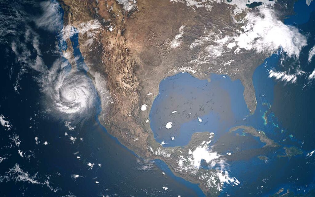
Tropical Storm Danielle formed in the Atlantic basin, the first tropical storm since early July. It is forecast to strengthen into a hurricane, the Weather Channel reported. Danielle is currently in open waters of the North Atlantic roughly 1000 miles west of the Azores. The storm is expected to make no threats to land but could be a hazard to shipping routes.
Two other disturbances in the Atlantic are expected to eventually move Northeast, back to sea, posing no threat to the US.
Heatwave in the West will lead to power outages, drivers told not to charge EVs
A heatwave in the West is expected to continue through the Labor Day weekend and into next week. California and Oregon are already warning residents to expect electricity shortages due to the excessive heat. Only days after California passed a law to ban gasoline-powered cars starting in 2026, the state is now asking drivers not to charge their electric vehicles during the high temperatures warning:
“The top three conservation actions are to set thermostats to 78 degrees or higher, avoid using large appliances and charging electric vehicles, and turn off unnecessary lights…and prevent more drastic measures, including rotating power outages,” zero hedge reported.
September temperature outlook
Thursday, September 1, 2022, marks the beginning of meteorological spring. The Weather Channel issued its September temperature outlook.
The West and upper Midwest, as well as New England, will see above-average temperatures for the month.
The areas with the most above-average temperatures will be portions of California, Nevada, Utah, Oregon, Washington, Idaho, Montana, Wyoming, and North Dakota.
The areas with below-average temperatures will be in the South and Southwest for portions of Arizona, New Mexico, Texas, Louisiana, Mississippi, Alabama, Florida, Georgia, and South Carolina. The areas with the most below-average temperatures will be southern and southeastern Texas, southern Louisiana, southern Mississippi, and southern Alabama into the western Florida Panhandle.
Expect average temperatures for the remainder of the nation.
Labor Day weekend forecast.
Here is a look at your Labor Day weekend forecast from the National Weather Service (NWS).
Thursday: Scattered thunderstorms, flood threat
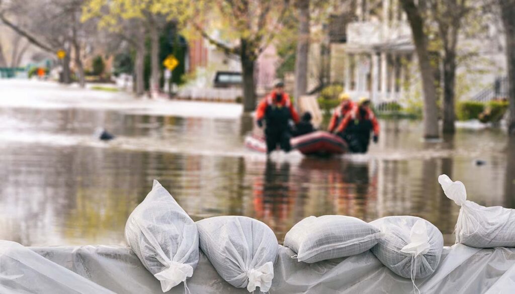
Scattered thunderstorms across the Southwest and South into parts of the Midwest. Heavy rain with the potential of flash flooding for western and eastern Texas.
Clear for much of the West, upper Midwest, mid-Atlantic, and Northeast.
Friday: Scattered thunderstorms, flood risk
Scattered thunderstorms over parts of Arizona, Midwest, South, and mid-South. Heavy rain with the potential of flooding for western and eastern Texas.
Clear conditions for most of the West, as well as the mid-Atlantic and Northeast.
Saturday: Thunderstorms for the East, Flood risk for Texas and Gulf
Scattered thunderstorms for parts of the Southwest in California, Arizona, New Mexico, and Colorado. A thicker penetration of thunderstorms for the southern Plains, South, Southeast, mid-South, Ohio Valley, and parts of the mid-Atlantic and Northeast.
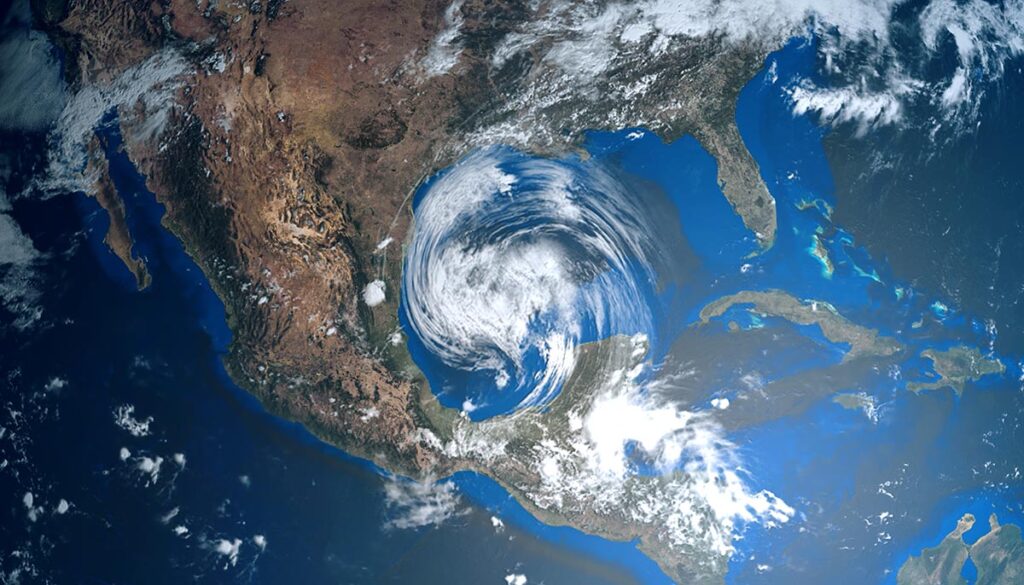
Heavy rain with potential flash flooding in the Gulf along the entire Texas coast and over central and Southern Louisiana and southern Mississippi.
Clear conditions for most of the West and upper Midwest.
Sunday: Thunderstorms, flooding rain along Gulf
Thunderstorms over the southern plains, South, Southeast, mid-South, Ohio Valley, Atlantic, and Northeast. Heavy rain along the Gulf for Texas, Louisiana, Mississippi, and Alabama.
Clear conditions for the West, Midwest, and upper Midwest.
Monday: Thunderstorms, flooding rain along Gulf
Thunderstorms over the southern plains, South, Southeast, mid-South, Ohio Valley, Atlantic, and Northeast. Heavy rain along the Gulf for Texas, Louisiana, and Mississippi
Clear conditions for the West, Midwest, and upper Midwest.


