A hurricane will make its closest pass to Southern California in 25 years, while Hurricane Earl expected to strengthen to a major storm and bring dangerous swells to East Coast. See the latest weather alerts and weekend forecast.
NWS weather alerts for Thursday
Here are Thursday’s weather alerts from the National Weather Service (NWS).
Coastal flood advisory: eastern Virginia, southern and eastern Maryland, northeast North Carolina, Delaware, New Jersey, and southeast Pennsylvania.
Flood watch: southeastern California and deserts; central, western, and northwestern Arizona; southern Nevada.
Excessive heat warning: northern, central, and southern California; southern Nevada; northern Arizona; southern Utah.
Heat advisory: north-central Colorado; northwestern California; southwestern Oregon.
Red flag alerts: western and north-central Washington; western Oregon; northwestern California; central and southern Idaho; Wyoming; South Dakota; western, central, and northeastern Nebraska; northeastern Colorado; and northwestern Kansas.
Hurricane to make its closest pass to Southern California in 25 years
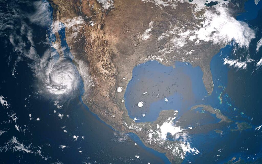
Hurricane Kay is expected to move parallel to the Baja California Peninsula through Friday, making the closest pass of a hurricane to Southern California in twenty-five years. Not since Hurricane Nora in 1997 has a named storm swung so close to the West Coast, KETV reported. Instead of bringing heat relief to the west, forecasters are warning that the weather system, which is expected to diminish to a tropical storm on Friday, could amplify the extreme heat woes in the region instead.
In addition, the storm system is expected to bring the threat of flash flooding to several states on Friday and Saturday, including California, Arizona, and Nevada.
Earl to become major hurricane, bring dangerous swells to East Coast
Hurricane Earl has strengthened to a Category 2 and is expected to further strengthen into a major Category 3 hurricane on Thursday. The storm may even become a Category 4 by Friday, NBC and WESH reported. A Category 3 has sustained winds of 111-129 mph, while a Category 4 has sustained winds of 130-156 mph.
A hurricane watch was issued for Bermuda on Wednesday, and dangerous swells could reach the US East Coast on Thursday, bringing life-threatening surf and rip conditions through the weekend, according to the National Hurricane Center (NHC).
The weekend forecast
Here is the weekend forecast from the National Weather Service (NWS).
Thursday: Heat, flooding, fire risk
A heatwave continues in the West, as well as critical fire weather for parts of the Northwest and upper Midwest. Coastal flooding for parts of the mid-Atlantic, while potential flooding rain in the Southwest. For more information on the specific areas that could be affected, see the alerts above.
Friday: Potential flooding in West and along the Gulf
Hurricane Kay is expected to weaken to a tropical storm over Baja California, bringing heavy rain to the southwest and the risk of flooding over southern California and southwestern Arizona.
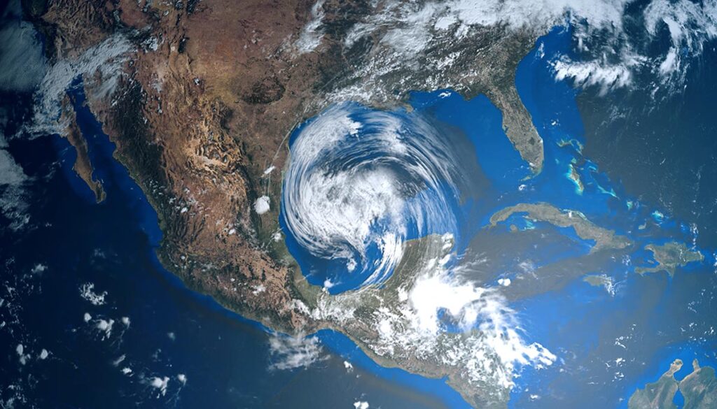
Thunderstorms over the Gulf of Mexico will bring heavy rain with potential flooding over several states, including Louisiana, Mississippi, Alabama, Florida, and Georgia, as well as southern Tennessee and western and southern South Carolina.
Saturday: Potential flooding on both coasts
Tropical Storm Kay will bring thunderstorms over the West and the potential for flooding over three states, including central and southern California, Southern Nevada, and Western Arizona.
Thunderstorms over much of the central US and East, except for the Northeast. Heavy rain with potential flash flooding over portions of Georgia, South Carolina, North Carolina, northeastern Tennessee, and southwestern Virginia.
Sunday: Heavy storms for California and the South/Southeast
A cold front is expected to move in, breaking the heatwave in the West, although warm temperatures could persist in parts of southeastern California, southern Nevada, and southwestern Arizona.
Thunderstorms over central and southern California could bring the threat of flash flooding. Another band of thunderstorms will stretch diagonally from New Mexico, Colorado, and northern Texas toward the Great Lakes, with significant precipitation over southern Wisconsin. Heavy bands of thunderstorms over the South, Southeast, and mid-South, could bring significant rain over the Florida Panhandle.


