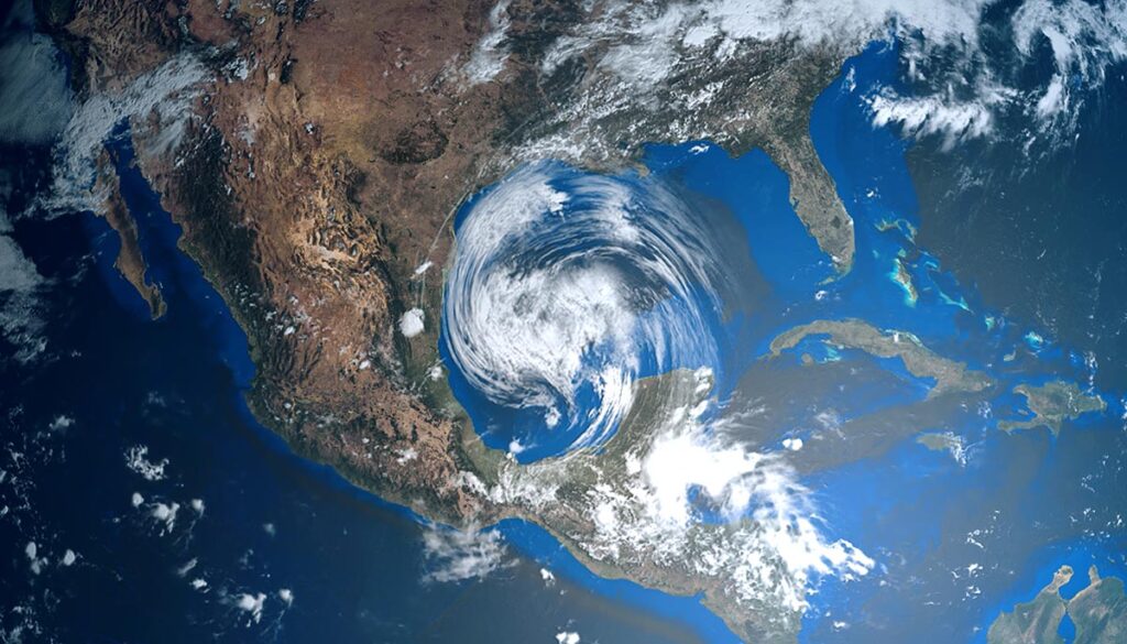
Ian strengthened into a Category 1 hurricane on Friday. The storm is currently bearing down on the South Carolina coast with 85 mph sustained winds expected to make landfall in the afternoon. See the latest weather news, alerts, and 3-day forecast.
NWS weather alerts for Friday
Here are Friday’s weather alerts from the National Weather Service (NWS).
Hurricane warning: northeastern South Carolina, southeastern North Carolina.
Tropical storm warning: central and eastern South Carolina, central and eastern North Carolina.
Tornado watch: northeastern North Carolina, southeastern Virginia.
Coastal flood warning: northeastern Florida, northeastern North Carolina, southeastern Virginia, southwestern West Virginia.
Flood warning: New Jersey, Delaware, southeastern Pennsylvania, eastern Maryland.
Red flag warning: southeastern Colorado, western Kansas.
Winter weather advisory: southeastern and south-central Montana.
Hurricane Ian: Headed for South Carolina, Latest updates
As of 11 AM EDT on Friday, Hurricane Ian was a Category 1 storm with sustained winds of 85 mph, moving north at 14 mph off the coast of South Carolina, according to the National Hurricane Center (NHC).
Ian is expected to make landfall on Friday afternoon, bringing hurricane-force winds that extend 70 miles out from its center and delivering life-threatening impacts, AccuWeather reported. The hurricane was located in the Atlantic just south of Georgetown at 12:45 PM EDT.
Path will take Ian into Virginia on Saturday, West Virginia on Sunday, mid-Atlantic & Northeast on Monday
Ian is expected to make its way into west-central North Carolina by 8 AM on Saturday, moving into Western Virginia by 8 PM, and into West Virginia by 8 AM on Sunday. Through Monday, Ian will move into the mid-Atlantic and Northeast.
The 3-day forecast: Ian to impact Southeast, mid-Atlantic, and Northeast
Here is the latest 3-day forecast from the National Weather Service (NWS).
Friday: Ian to make landfall in South Carolina
Hurricane Ian is expected to make landfall Friday afternoon in South Carolina, but the storm will have impacts from Florida to the mid-Atlantic, bringing dangerous winds, storm surge, heavy rain with the possibility of flash flooding, and possible tornadoes. The areas expected to be the most impacted on Friday will be portions of Georgia, South Carolina, North Carolina, Virginia, West Virginia, Delaware, and Maryland (see alerts above).
Thunderstorms over the Northwest, Central West, upper Midwest, and Southwest. Possible mixed precipitation over parts of Idaho, Wyoming, and Montana, where there is a winter weather advisory (see alerts above).
The Storm Prediction Center (SPC) has issued a Level 2 severe weather alert for portions of South Carolina, North Carolina, Virginia, Maryland, and Delaware.
Saturday: Ian moves to mid-Atlantic/Ohio Valley
Ian is expected to downgrade to a post-tropical cyclone as the storm moves north, bringing thunderstorms to the southeast, mid-South, Ohio Valley, mid-Atlantic, and parts of the Northeast. Heavy rain with potential flooding over portions of North Carolina, Virginia, Kentucky, and West Virginia, as well as along the coast for portions of Delaware, Maryland, New Jersey, Connecticut, Rhode Island, New York, and Massachusetts.
Thunderstorms over the Northwest, central-West, Southwest, and parts of the upper Midwest, with potential mixed precipitation over parts of Idaho, Montana, Wyoming, Utah, and Colorado.
Sunday: Ian remnants over mid-Atlantic, Hurricane Orlene off Mexico to affect Southwest
The remnants of Ian will continue to bring thunderstorms over parts of the southeast, mid-South, Ohio Valley, mid-Atlantic, and New England areas. Heavy rain with the potential of flash flooding over portions of North Carolina, Virginia, Maryland, and Delaware.
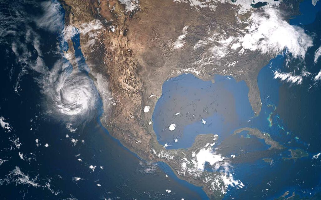
In the West, Hurricane Orlene is brewing in the Pacific west of Guadalajara, Mexico, will bring more prevalent thunderstorms to portions of Southern California, Nevada, most of Arizona, and New Mexico. Thunderstorms also over the Northwest, central West, and upper Midwest, with potential mixed precipitation over portions of Idaho, Montana, Wyoming, Utah, and Colorado.


