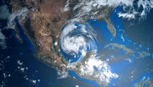
A typhoon near China will also impact the West Coast of the United States. Upper Midwest flooding is possible on Thursday, potential severe weather in the central US on Friday. Tropical Storm Fiona forms in the Atlantic, plus the weekend forecast.
Typhoon near China will also impact US
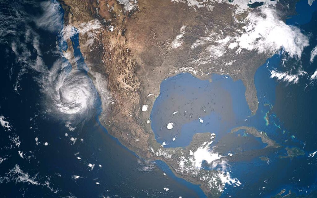
Typhoon Muifa, which is expected to strike Shanghai with 75 mph winds, could have some downstream effects on the US West Coast as it gets absorbed into the jet stream, the San Francisco Chronicle reported.
The scrambling of the jet stream will initiate a chain reaction that could bring wet weather to the west and potentially help extinguish California wildfires, the Washington Post reported.
Tropical Storm Fiona forms in Atlantic
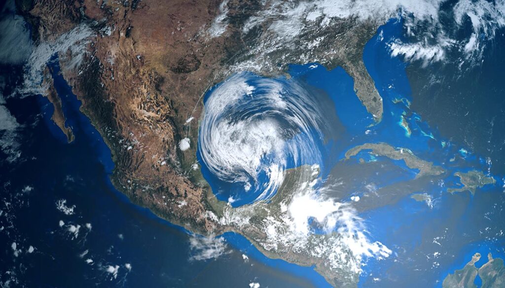
A storm in the central Atlantic formally labeled Invest 96L organized into tropical depression seven on late Wednesday morning. The storm then strengthened by the evening into Tropical Storm Fiona, the 6th named storm of the 2022 Atlantic hurricane season.
According to the National Hurricane Center (NHC), as of 2 PM EDT, Fiona had sustained winds of 50 mph, moving west at 14 mph.
Fiona is expected to bring the threat of potential floods and mudslides to the northern Lesser Antilles, Puerto Rico, the Dominican Republic, and Haiti by this weekend into early next week, Local 10 reported.
The winds from Fiona extend 140 miles from the center, CNN reported. Current forecast models show Fiona could move toward the Bahamas sometime after Monday.
The weekend forecast: Thunderstorms to increase
Here is the latest 4-day forecast from the National Weather Service (NWS)
Thursday: Upper Midwest flooding possible
Thunderstorms over the West and upper Midwest could bring heavy rain with the possibility of flash flooding over central and northwestern Minnesota, according to the NWS. There is a possibility of strong storms over northern Texas, western Oklahoma, western Kansas, central and northeastern Nebraska, and southeastern South Dakota.
A cold front in the West also could bring mixed precipitation over portions of Idaho, Montana, Wyoming, Utah, and Colorado.
Friday: Severe weather risk in central US
A cold front could bring mixed precipitation over parts of Washington, Oregon, Idaho, Montana, Wyoming, Utah, and Colorado.
Thunderstorms over parts of the western and central US could bring severe weather over eastern Wyoming, southwestern South Dakota, and into western and central Nebraska. The SPC issued a Level 2 severe weather risk, with the main threat being damaging winds and a lower threat of large hail.
Thunderstorms also along the Gulf Coast, throughout Florida, and into the southern coastal regions of Georgia and South Carolina.
Saturday: Heavy rain in the West, Northeast
In the early morning hours, mixed precipitation is possible for parts of Washington, Oregon, northern California, Idaho, Montana, Wyoming, and Utah.
Heavy rain for the Northwest throughout Washington, Oregon, and Northern California, as well as the northern regions of Montana, and into the central US and upper Midwest over North Dakota and Minnesota. Rain also over northern New York, Vermont, New Hampshire, and throughout Maine.
Thunderstorms over the West, Central US, upper Midwest, as well as along the Gulf, throughout Florida, into southern Georgia and the coastal regions of the state, and along the Carolinas.
Sunday: Cooler temps and rain in the West, Northeast
Below average temperatures along the West Coast and for the northern regions of the West, while temperatures will climb in the Southwest and southern Plains.
The heaviest rain spots will be over central and northern California, portions of Oregon, Idaho, and western Utah, as well as around the Great Lakes region, in the Northeast, and in the South along the Gulf, throughout Florida, and southeastern Georgia.


