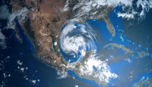
A Florida sheriff says fatalities are in the hundreds, with thousands needing rescue. In addition, 2.6 million people are without power, as President Biden approved a disaster declaration. See the latest updates, alerts, and the 3-day forecast.
NWS weather alerts
Here are Thursday’s weather alerts from the National Weather Service (NWS).
Hurricane warning: Coasts of Georgia and South Carolina.
Tropical storm warning: Central and northeastern Florida; southeastern Georgia; central and eastern South Carolina; central and eastern North Carolina; Coasts of Florida, Georgia, South Carolina, and North Carolina.
Red flag alert: southeastern Mississippi, central western and southern Alabama, and the western Florida Panhandle.
Frost and freeze warnings: for portions of Pennsylvania, New York, Massachusetts, Vermont, New Hampshire, and Maine.
Hurricane Ian downgraded to a tropical storm
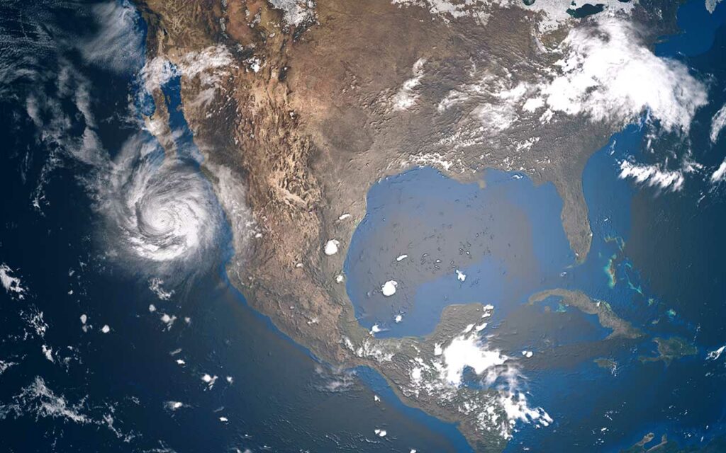
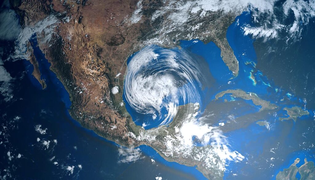
Hurricane Ian made landfall in Florida as a Category 4 hurricane on Wednesday. As of 11 AM EDT, Ian was downgraded to a tropical storm with sustained winds of 70 mph, moving north-northwest at nine mph, according to the National Hurricane Center (NHC). The storm was moving off the East Coast of Florida and expected to make landfall again in South Carolina sometime after 8 AM on Friday, once again packing hurricane-force winds.
Florida storm update: Disaster declaration
President Joe Biden approved a disaster declaration for Florida, providing federal aid to supplement local recovery efforts in areas affected by the storm, The Hill reported.
Hundreds of fatalities likely, thousands awaiting rescue, 2.6 million without power
Lee County Sheriff Carmine Marceno told Good Morning America on Thursday he “definitely knows” fatalities are in the hundreds, The Sun reported.
“Thousands of people are waiting to be rescued,” Marceno said. “I cannot give a true assessment until we are on scene assessing each scene, and we can’t access people that is the problem.”
As of 11 AM EDT, 2,614,852 customers were without power in Florida, according to poweroutage.us.
Complicating matters, Ian severed a section of the Sanibel Causeway, the only bridge to Sanibel Island, WFLA reported.
More hurricane warnings for Florida, Georgia, and South Carolina
“Hurricane conditions are possible by tonight along the coast of northeastern Florida and Georgia, where hurricane watch is in effect,” the NHC said. “Preparation should be rushed to completion since tropical-storm-force winds will begin well before the center approaches the coast.”
The 3-day forecast
Here is the latest 3-day forecast from the National Weather Service (NWS).
Thursday: Ian over Florida, thunderstorms in the Southeast and West
Rain and thunderstorms in the Northwest with potential mixed precipitation over parts of Idaho, Montana, Wyoming, and Colorado. Thunderstorms over the southern deserts of California and Arizona.
Thunderstorms in the Northeast from Florida to Virginia, with heavy rain with potential flash flooding along the coasts of Florida, Georgia, South Carolina, and North Carolina (see alerts above).
Friday: Ian to make landfall again
Tropical Storm Ian could have hurricane-force winds as it makes landfall somewhere between Georgia and South Carolina on Friday. Heavy rain, dangerous storm conditions, and potential flash flooding are expected over portions of Georgia, South Carolina, North Carolina, Tennessee, and Virginia, with thunderstorms extending to New York and Connecticut to the north and Ohio to the west.
Thunderstorms in the Northwest and upper Midwest, with mixed precipitation over Idaho, Montana, Wyoming, Utah, and Colorado. Thunderstorms for southern Arizona.
Saturday: Tropical depression Ian moves north
Ian is expected to downgrade to a tropical depression as it moves northward, affecting the mid-South and mid-Atlantic. Thunderstorms bring heavy rain with potential flash flooding over portions of Tennessee, North Carolina, Kentucky, West Virginia, Virginia, and southern Pennsylvania, as well as along the coast for portions of Maryland, Delaware, New Jersey, and New York, with thunderstorms extending to Maine.
Rain and thunderstorms over portions of the Northwest, upper Midwest, and Southwest, with potential mixed precipitation over Idaho, Montana, Wyoming, Utah, and Colorado.


