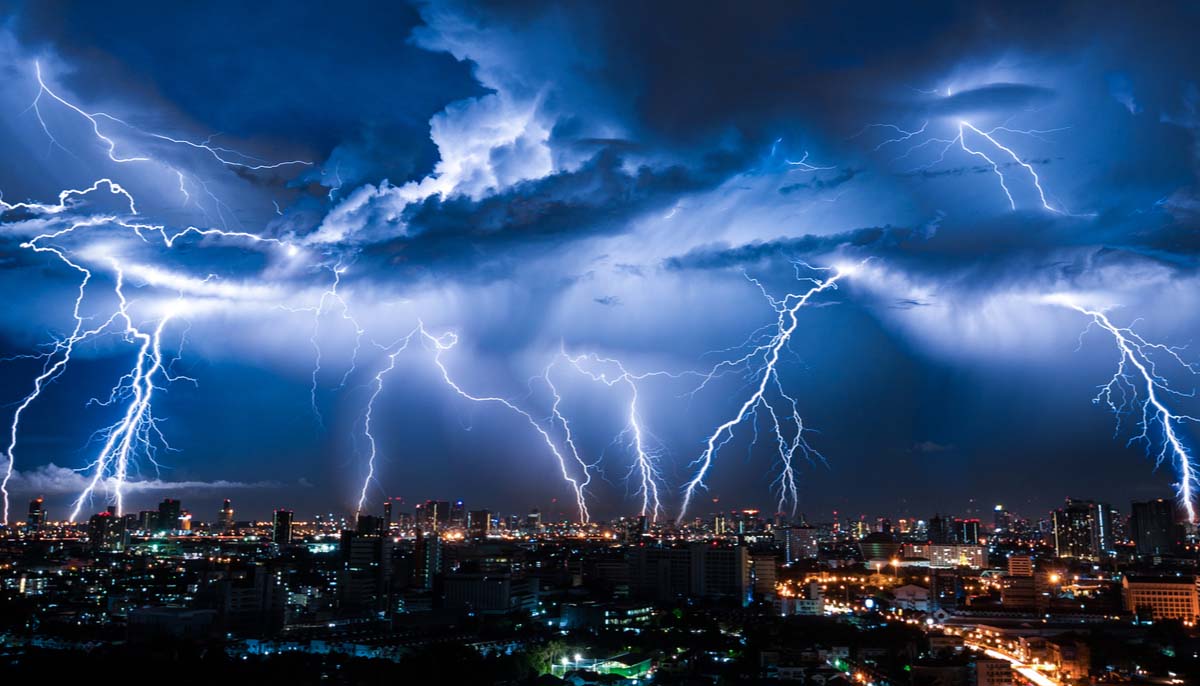
Thunderstorms on both coasts could bring flooding to several states in the West and mid-Atlantic, as well as around the Great Lakes, while two new systems are active in the Atlantic. Today’s weather alerts, forecast,s and news.
Separate storm systems will threaten East and West with severe thunderstorms, flooding, gusty winds
Two separate storm systems bring the risk of flooding to both sides of the Lower 48 on Monday.
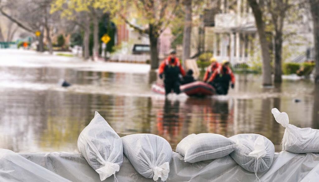
In the West, thunderstorms will stretch from the Southwest to the northeast bringing the potential of flooding to at least three states. The National Weather Service (NWS) has issued a flash flood warning for western Arizona. A flood watch is in effect for southeastern, east-central, central, and northwestern Arizona; southern, central, eastern, and northeastern Nevada; and southern California.
The eastern storms could deliver severe thunderstorms with gusty winds and hail as a cold front is pushed across the I-95 corridor, reaching the DC area by the evening commute. The storm will approach New York late evening and overnight, with the impacts continuing through Tuesday morning, the Weather Channel reported.
Thunderstorms will stretch along the Gulf of Mexico and extend through the deep South of the Atlantic coast to Maine, as well as stretch out over the Great Lakes region. Heavy rain with potential flash flooding over portions of West Virginia, Virginia, Maryland, Delaware, Pennsylvania, New Jersey, and New York.
The NWS has issued alerts for Northern Virginia, central and western Maryland, eastern West Virginia, Washington, D.C., and southeastern Pennsylvania.
Around the Great Lakes region, a flood warning was issued for Wisconsin’s eastern coast, as well as a flood watch over southern Wisconsin and northern Illinois. There is a rip current warning in effect for the entirety of Lake Michigan.
Two new systems active in the Atlantic
Meteorologists from the National Hurricane Center (NHC) are watching two new systems that have developed in the Atlantic.
“Disturbance 2” has a 20% chance of cyclone information in the next five days and is currently a tropical wave located midway between the West Coast of Africa and the Windward Islands. Some slow development of the system is possible over the next several days. “Disturbance 1” also has a 20% chance of cyclone formation in the next five days. This tropical wave is located just off the West Coast of Africa. Environmental conditions for further development appear only marginally favorable at this time.
Air-quality alert for Northwest
Due to wildfires burning in the region, the NWS issued an air-quality alert for four states in the Northwest on Monday, including Oregon, central and eastern Washington, Idaho, and western Montana.


