Thunderstorm activity over the US will increase for the next three days, with at least nine states at risk of flooding on Thursday. Expect a cooldown in the South but one more scorcher in the West. All this, plus more weather news and the weekend forecast.
Tropical wave expected to enter Gulf of Mexico
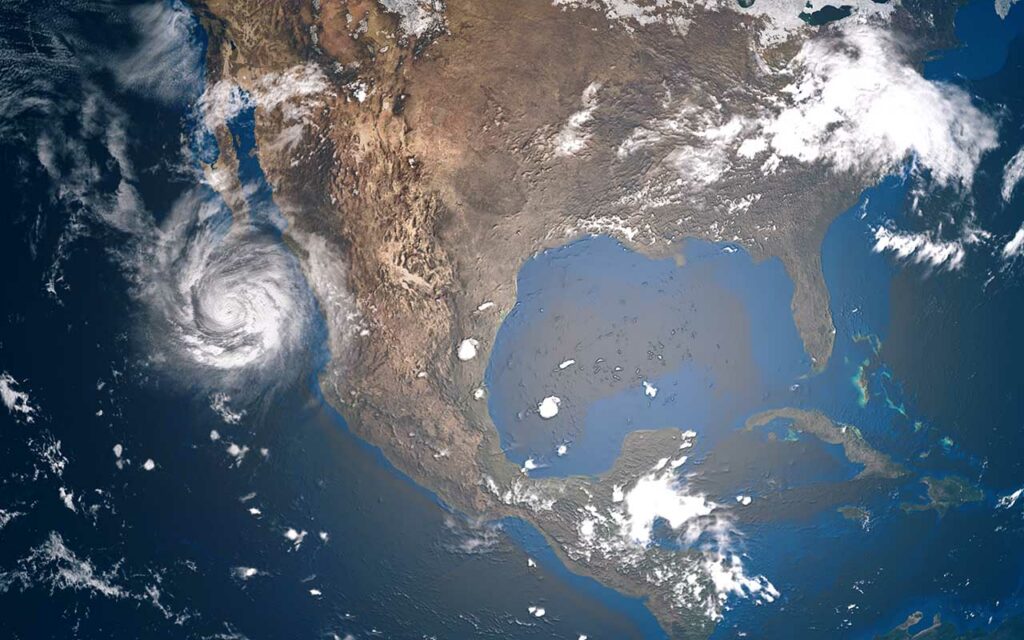
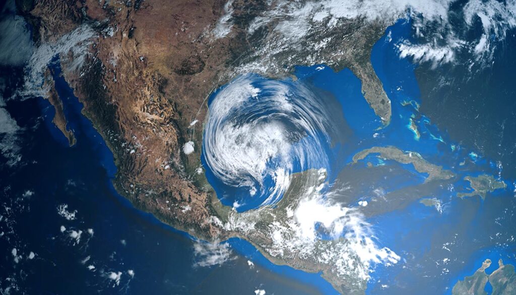
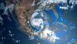
A tropical disturbance off the coast of Belize is expected to move into the southwestern Gulf of Mexico and emerge in the Bay of Campeche on Friday, moving toward southern Texas. The system has a 30% chance of cyclone development over the next five days, according to the NOAA.
Colorado sees first snow of the year in high country
The first dusting of snow fell in Colorado on the Front Range peaks near Alma, 9News reported. While much of the country is baking, it is normal in the second half of August for Colorado to experience its first dusting, as occurred on August 20 of last year when enough snow fell to cover much of the northern mountains.
Scientists say aurora borealis will be visible farther south
In the latest update on geomagnetic storms, the northern lights are now expected to be visible into Friday night. Scientists say the Aurora Borealis could possibly be visible farther south than expected, meaning people in places such as Pennsylvania, Iowa and Oregon may be able to see the light show, WTAE reported.
The weekend forecast: Increased thunderstorm activity and flooding threat over US
Here is the latest 4-day forecast from the National Weather Service (NWS).
Thursday: Thunderstorms, widespread flood threat, heat alerts
Temperatures have already cooled in the South, but one more day of heat alerts in the West before the thermometer begins to recede.
The NWS has issued an excessive heat warning on Thursday for much of Washington, and a heat advisory for Washington, northern Idaho, much of Oregon, and northern central and southern California.
Thunderstorms over the West, Southwest, Midwest, South, Southeast, and parts of the mid-Atlantic.
Heavy rain with potential flooding over Nevada, Utah, Arizona, New Mexico, Louisiana, Mississippi, Alabama, the Western Panhandle and northeastern Florida, and the eastern areas of Georgia and South Carolina.
On Tuesday, NWS issued a flood warning for southern Texas, along with a flood watch for parts of Nevada, Texas, Arizona, and New Mexico.
Friday: Scattered thunderstorms, significant Southwest flood threat
Scattered thunderstorms over much of the West, Midwest, Southwest, South, Southeast, and parts of the mid-Atlantic.
In the Southwest, heavy rain will bring the potential of flash flooding to much of Utah, southwestern Colorado, nearly the entirety of Arizona and much of New Mexico, and the western edge of Texas.
Saturday: Thunderstorms, flooding threat
Thunderstorms for a sizable chunk of the West, and most of the eastern half of the nation, except for the Northeast.
A large portion of the Southwest will continue to experience heavy rain with the risk of flash flooding over much of Arizona and New Mexico and into western and northern Texas.
Sunday: Thunderstorms, flooding threat
Thunderstorms will continue along the southern tier of the US from the Southwest to the southeast, as well as over the upper Midwest and Ohio Valley.
Heavy rain will bring the threat of flash flooding to southeastern Arizona, central and southern New Mexico into northern Texas. Heavy rain is also possible for parts of eastern Texas, and the southern parts of Louisiana, Mississippi, Alabama, and the Western Florida Panhandle.


