Significant severe weather risk for upper Midwest on Monday, Farmer’s Almanac new Northeast winter forecast, flood risk for Southwest and Gulf, excessive heat in the West and NY, four disturbed systems churning in Atlantic.
Significant severe weather risk for upper Midwest on Monday
Expect thunderstorms over much of the eastern half of the US, as well as parts of the Southwest, on Monday. The storms will bring a wide area of potential severe weather to the upper Midwest, including portions of Iowa, Missouri, Illinois, Wisconsin, Indiana, Ohio, and Michigan, as well as over southern Lake Michigan.
Forecasters are warning that 60 mph winds are possible. Wind will be the biggest threat, along with frequent lightning, quarter-sized hail, and localized flooding, NBC5 Chicago reported. There is a low risk of tornadoes.
The Storm Prediction Center (SPC) has issued a Level 3 severe weather risk for eastern Iowa, northern Illinois, northwestern Indiana, and southwestern Michigan.
A Level 2 severe weather risk has been issued for eastern Iowa, northeastern Missouri, central and northern Illinois, southern Wisconsin, central and northern Indiana, southern Michigan, and northwestern Ohio.
Strong storms could also affect portions of New Mexico, Texas, Oklahoma, Arkansas, Kansas, Missouri, Kentucky, and Northwestern Pennsylvania.
Flood risk for Southwest and Gulf
Thunderstorms over parts of the Southwest and around the Gulf of Mexico could bring heavy rain with the risk of flash flooding.
The National Weather Service (NWS) has issued a flood watch over central and southeastern New Mexico into western Texas, as well as for northeast Florida into southeast Georgia. The NWS is also warning of potential flash flooding along the Gulf Coast for eastern and southeastern Texas into southwestern Louisiana.
‘Farmer’s Almanac’ issues new Northeast winter forecast
The Old Farmer’s Almanac has just published a brand-new forecast for winter 2022-23, and they are calling for a “cold, snowy” winter for most of the Northeast, the Daily Voice reported. The Almanac claims it has an 80% accuracy rate with its weather forecasts.
“The coldest periods will be in early and late January and late February,” The Old Farmer’s Almanac says. “Precipitation will be above normal. Snowfall will be below normal in the north and above normal in the south, with the snowiest periods in early to mid-December and the first half of January.”
Excessive heat in the West and NY
The National Weather Service (NWS) has issued the following heat-related alerts for Monday.
Excessive heat watch: central and southern California, southern Nevada, western and central Arizona.
Heat advisory: western New York.
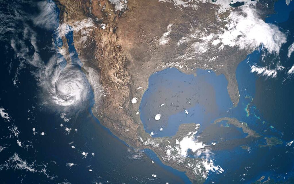
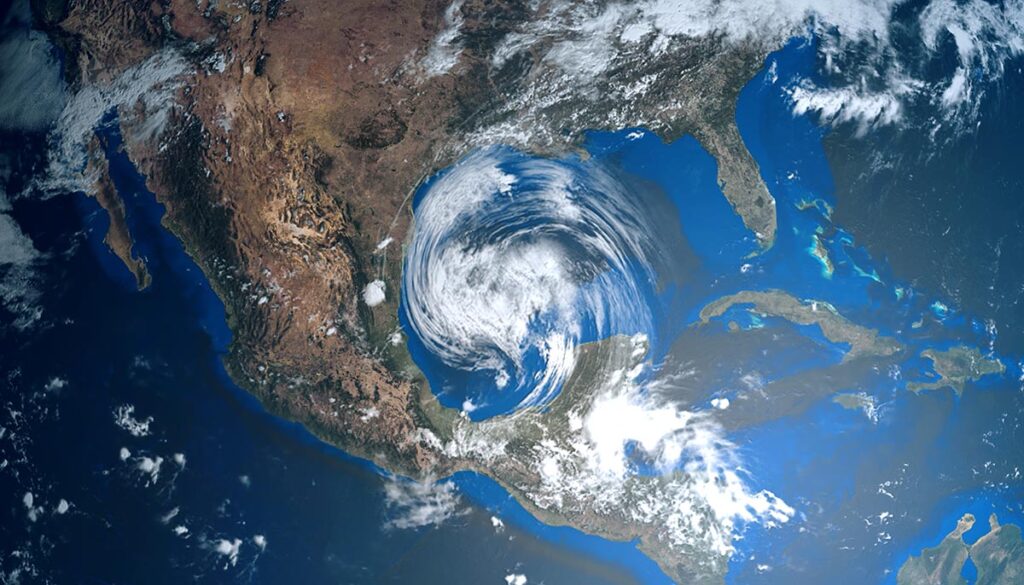
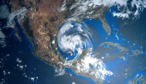
Four systems churning in the Atlantic.
The two-month quiet in the tropics is over, as forecasters for the National Hurricane Center (NHC) are now watching four areas of disturbed weather in the Atlantic. An area named “Disturbance 1” and also “Invest 91L” has an 80% chance of development within the next five days and a 50% chance in the next two days, WPTV reported. While most models have it tracking just northwest of the Leeward Islands by the end of the week, they also have it turning back to sea.
Over the next five days, “Disturbance 2” has a 10% chance of cyclone development, “Disturbance 3” has a 30% chance of development, and “Disturbance 4,” located east of Belize and Cancún, has a 20% chance of development, according to the NHC.