The Northeast will see one more day of dangerous temperatures before a pattern change brings relief, while a number of major flooding threats across the US. Make sure to catch the last supermoon of the year, plus more weather news.
Northeast: One last day of dangerous heat before a cooldown
Forecasters predict that final heat remains on Tuesday for millions in the Pacific Northwest and the Northeast, but a pattern change will wind down temperatures over the course of the next several days, Fox reported. A cold front over the eastern half of the nation is moving to the South, and while it will deliver heavy rain, it will bring heat and humidity relief, the Weather Channel reported.
Today’s NWS heat alerts across the US
Here are Tuesday’s heat alerts from the National Weather Service (NWS).
Excessive heat warning: New Jersey, Delaware, southeastern Pennsylvania, eastern Maryland, eastern Washington, northern Idaho.
Heat advisory for portions of New Hampshire, Massachusetts, Rhode Island, Connecticut, New York, Pennsylvania, New Jersey, Maryland, Delaware, Washington, Idaho, and Oregon.
Numerous flooding threats across the US on Tuesday
Thunderstorms from coast-to-coast on Wednesday, mainly over the Pacific Northwest and West, through parts of the central US, then along the southern corridor and up the Atlantic coast from Florida to Maine.
Heavy rain with potential flooding in the West over portions of Oregon, California, Nevada, Utah, Arizona, and New Mexico.
To the east, potential flooding over Missouri, Illinois, Tennessee, Kentucky, Indiana, Ohio, West Virginia, and Pennsylvania.
NWS flooding alerts
Here are Tuesday’s flood-related alerts from the National Weather Service (NWS).
Flood warning: northern and northeastern South Dakota; eastern Iowa; northwestern, west-central, and southern Illinois; eastern and southeastern Missouri; southern Indiana; western Kentucky.
Flood watch: northern, northeastern, central, and southern Nevada; Southern California and deserts; southwestern Utah; western, northwestern, central, and southern Arizona; northern, central, and southwestern New Mexico; central, eastern, and northern Kentucky; southern and eastern Ohio; western, north-central, and northern West Virginia; southwestern Pennsylvania.
Coastal flood advisory: southeastern Louisiana; southern Mississippi; southern Alabama; Pensacola, Florida.
Last supermoon of the year this Thursday
On Thursday, August 11, the fourth and last supermoon of the year will occur, appearing roughly 7% larger than an average full moon, NBC reported. August’s full moon has the nickname of “sturgeon” moon, named after a time when sturgeon in the Great Lakes and Lake Champlain were most readily caught during this part of summer, according to the Old Farmer’s Almanac. The moon will reach peak illumination at 9:36 P.M. Eastern Time.
Forecasters watching tropical development in Atlantic
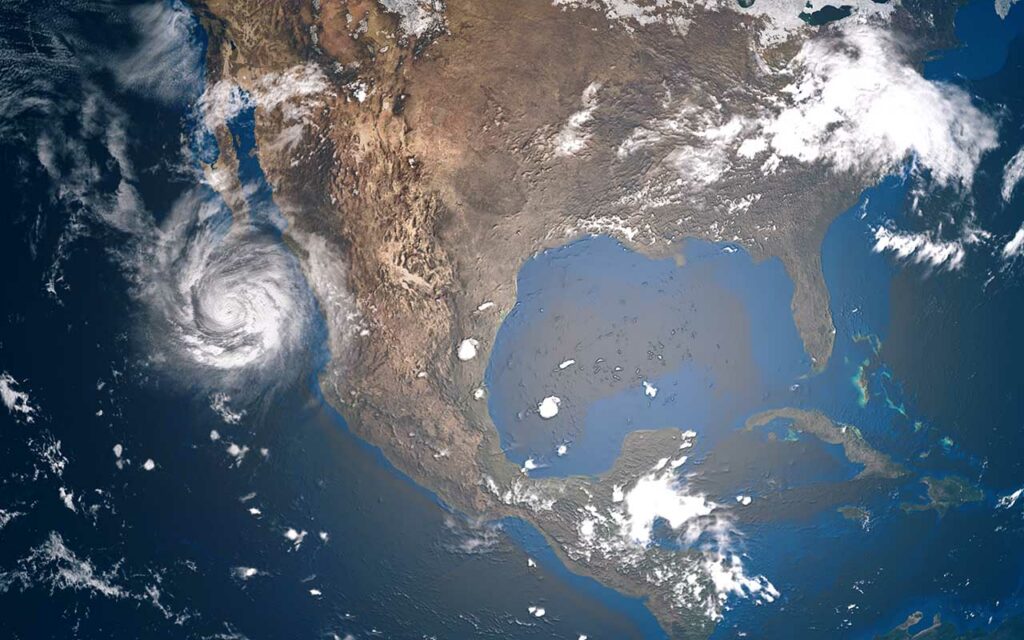
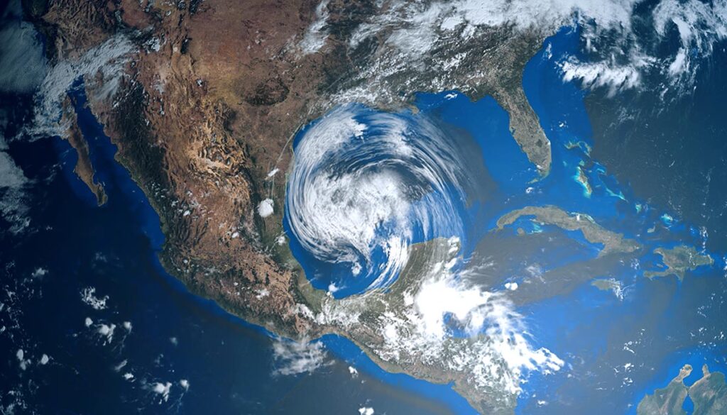
Forecasters with the National Hurricane Center (NHC) are watching a system in the Atlantic for possible tropical development. The system identified as Disturbance 1 or Invest 97L appears to be weakening, with the NHC downgrading its chance of development over the next five days to 40% or less.


