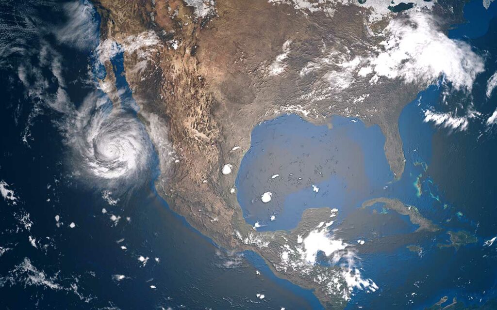
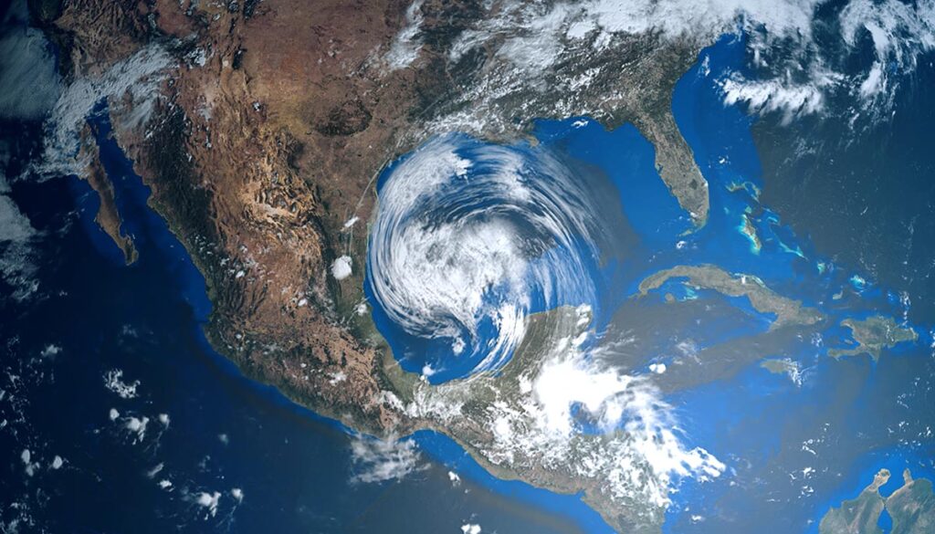
Roughly two-thirds of the Lower 48 will see thunderstorms on Monday, bringing heavy rain with potential flash flooding to parts of the Southwest, Midwest, and the Northeast–where rising temps could also hit record highs.
Northeast, mid-Atlantic heat wave could reach record highs
The heat is on for the mid-Atlantic and Northeast on Monday, and forecasters say that this marks day five of a likely six-day heat wave before a pattern change could bring a slight cool down and return to more seasonable temperatures, WPRI reported.
In Massachusetts, 100+ heat indexes in at least ten areas are forecast. In Rhode Island, the heat index is poised to reach the upper 90s in several areas and triple digits in at least six areas.
NWS heat advisories across the US
For the Northeast and mid-Atlantic, the National Weather Service (NWS) has issued a heat advisory for portions of Maryland, Delaware, Pennsylvania, New Jersey, New York, Connecticut, Rhode Island, Massachusetts, Vermont, New Hampshire, and Maine.
In the Midwest, heat advisories for East-central Missouri and West-central Illinois.
In the South, heat advisories for southeastern Arkansas, northeastern Louisiana, and Western Alabama.
In the Northwest, heat advisories for Northern Oregon, throughout Washington, and northern Idaho.
Thunderstorms across the US could bring flooding to 3 regions
Thunderstorms and parts of the West, Southwest, and Midwest, while to the east, most of the South, Mid-South, Southeast, Ohio Valley, mid-Atlantic, and Northeast are likely to experience storms at some point on Monday, according to the latest forecast by the National Weather Service (NWS).
Flood watch
Three regions, in particular, will see heavy rain with the potential to bring flash flooding: the Southwest, Midwest, and Northeast.
The National Weather Service (NWS) has issued a flood watch for Monday for southwestern, central, and northern New Mexico; east-central Missouri; central and west central Illinois; and northern Maine.
Flash flooding is also possible in parts of south-central Colorado, southeastern Indiana, northern Vermont, and northern New Hampshire.
Potential tropical depression could form this week in the Atlantic
Despite the predictions of a hyperactive hurricane season, the tropics have been quiet for over a month now. However, the busiest months of hurricane activity – August, September, and October – are just getting underway.
A tropical wave currently at the far eastern end of the Atlantic is making its way west, and the National Hurricane Center (NHC) has upgraded its prediction to a 40-60% chance of tropical development within the next five days, from around the middle to latter part of this week, and a 20% chance within the next 48 hours.


