The NOAA has updated its 2022 hurricane predictions–and they expect an above-average remainder of the season. See today’s weather alerts, including severe weather in Midwest, widespread thunderstorms, and flood threats in the three-day forecast.
NOAA issues updated 2022 Atlantic hurricane predictions
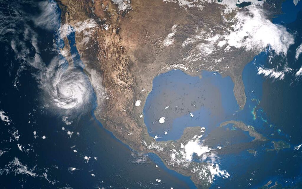
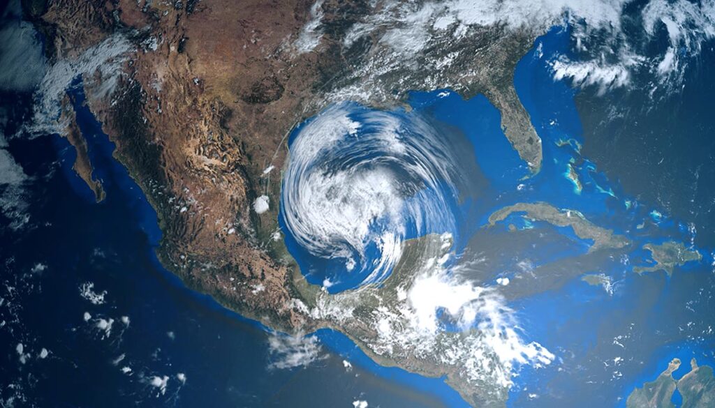
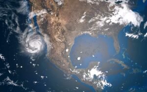
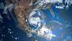
The National Oceanic and Atmospheric Administration (NOAA) has issued an update of its 2022 Atlantic hurricane season predictions. The organization has a 70% confidence in its forecast. The season runs through November 30 but has been starting a little earlier every year.
Although we have seen a relatively mild season thus far, we are now at the months that typically hold the greatest activity. The NOAA is still giving a 60% likelihood of above-normal activity for 2022.
There have only been three named storms in the 2022 Atlantic season so far: Alex, Bonnie, and Colin.
The latest update by the NOAA calls for 14-20 named storms (winds of 39 mph or greater), 6-10 hurricanes (winds of 74 mph or greater), and 3-5 major hurricanes (winds of 111 mph or greater/Category 3 or greater).
Today’s weather alerts
Here are the latest weather alerts from the National Weather Service (NWS) for Friday.
Excessive heat warning: Central and eastern Washington; northern Idaho.
Heat advisory: central and eastern Washington; northern Idaho; northeastern Oregon; north-central, central, and south-central California.
Flash flood warning: northwestern New Mexico.
Flash flood/flood watch: southern and eastern Utah; western Colorado; Arizona; New Mexico.
Flood advisory: northwestern Arizona; southern Texas; Southeastern Mississippi; southwestern Alabama; southeastern Illinois.
The 3-day forecast: Severe weather, widespread thunderstorms, flooding threats
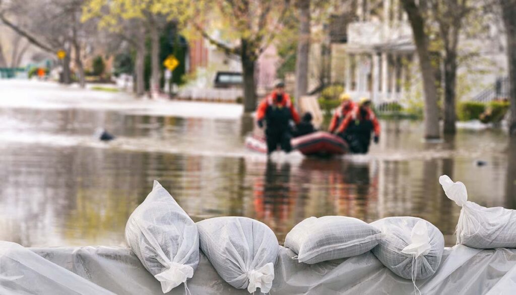
Expect widespread thunderstorms over the next three days. Friday will see severe weather and flood threats over several states, while thunderstorms will increase as the flooding threat will continue over the weekend.
Here is the latest three-day forecast from the National Weather Service (NWS).
Friday: Severe weather in Midwest, flooding threat over 3 fronts
Thunderstorms over the West, Southwest, Midwest, South, and Southeast.
The Storm Prediction Center (SPC) has issued a Level 2 severe weather risk for the upper Midwest for eastern and southern Iowa; southwestern Wisconsin; west-central and northwestern Illinois; and northern Missouri.
Storms could also be strong over parts of Nebraska, Kansas, and the coastal areas of North Carolina, South Carolina, and Georgia.
Heavy rain will bring the potential of flash flooding over portions of Utah, Colorado, Arizona, and New Mexico, as well as extreme Western and the Houston area of Texas. Flooding rain is also possible along the coastal areas of North Carolina, South Carolina, and Georgia.
Saturday: Thunderstorms, Southwest flooding
Thunderstorms over parts of the West and Southwest, as well as most of the eastern half of the nation, with the exception of the Northeast and parts of the upper Midwest.
Heavy rain over the Southwest could bring flash flooding to central and southern Arizona, most of New Mexico, and into northern and western Texas.
Sunday: Thunderstorms, Southern flooding
Thunderstorms for parts of the West and all along the southern corridor, as well as most of the eastern region of the nation.
Heavy rain will bring potential flooding over central and southern Oklahoma, northern and northeastern Texas, into southwestern Arkansas, and northwestern Louisiana. Flooding is also possible along the eastern New Mexico-Texas border.


