A new report is warning of a new Lower 48 “extreme heat belt.” On the same day, 11 states are under heat warnings, while another seven states face flooding on Tuesday. A disturbance is headed for Gulf, and the aurora borealis will be visible in the US.
New report: Warning of “extreme heat belt” over Lower 48 becoming the norm
A new study issued by the climate research group First Street Foundation predicts that an “extreme heat belt” will develop over the US and impact over 100 million Americans in the next 30 years.
Currently, the national weather services “extreme danger” category is defined as any time the heat index exceeds 125 degrees Fahrenheit. About 8 million people are expected to be affected by temperatures within that range this year, CNN reported.
By 2053, according to the report, the number of days exceeding a heat index of 125+ degrees will increase by 13 times, affecting some 107 million people. The report found the seven hottest days of the year and projected those will increase to 18 by 2053. However, for the southern half of the country, that number will increase to around 30. What was once the hottest week of the year will become the hottest month. Locations along the Gulf Coast and in Florida are also likely to experience over 30 additional days of 100+ heat indexes by 2053.
11 states under heat alerts for Tuesday
The National Weather Service (NWS) issued the following heat-related alerts for Tuesday.
Excessive heat warning: northwestern, western, northeastern, and east central Washington; central California; southeastern Missouri; northeastern Louisiana; west-central Mississippi.
Heat advisory: Washington; Oregon; northern and southwestern Idaho; northern central, western, and southwestern California; central and eastern Oklahoma; eastern Texas; central and southern Missouri; northern and southeastern Louisiana; west-central, central, and southern Mississippi; southwestern Alabama; western Florida Panhandle.
7 states facing potential flooding on Tuesday
With scattered thunderstorms throughout the US on Tuesday, heavy rain will bring the potential of flash flooding over seven states, including portions of Utah, Arizona, Colorado, New Mexico, Texas, Missouri, and Arkansas, according to the National Weather Service (NWS) forecast.
The NWS has issued the following flood-related alerts for Tuesday:
Flash flood warning: southwestern Missouri.
Flood warning: western Texas.
Flood watch: western Texas; central and southwestern Colorado.
Flood advisory: western and southern Texas; southwestern Missouri.
Aurora borealis will be visible in US on Tuesday and Wednesday
The aurora borealis may be visible over the northern tier of the US over the next three days. The NOAA Space Weather Prediction Center has issued a G1 geomagnetic storm watch for Tuesday night into Wednesday morning and a G2 geomagnetic storm watch for Wednesday night into Thursday morning, KRTV reported and featured a map showing viewable areas.
On Tuesday night, the aurora borealis may be visible in portions of Montana, North Dakota, Minnesota, Wisconsin, Michigan, and Maine.
On Wednesday night, the aurora borealis may be visible in portions of Washington, Idaho, Montana, North Dakota, South Dakota, Minnesota, Wisconsin, Iowa, Michigan, New York, Vermont, New Hampshire, and Maine.
Disturbance in Caribbean headed for Gulf of Mexico near Texas
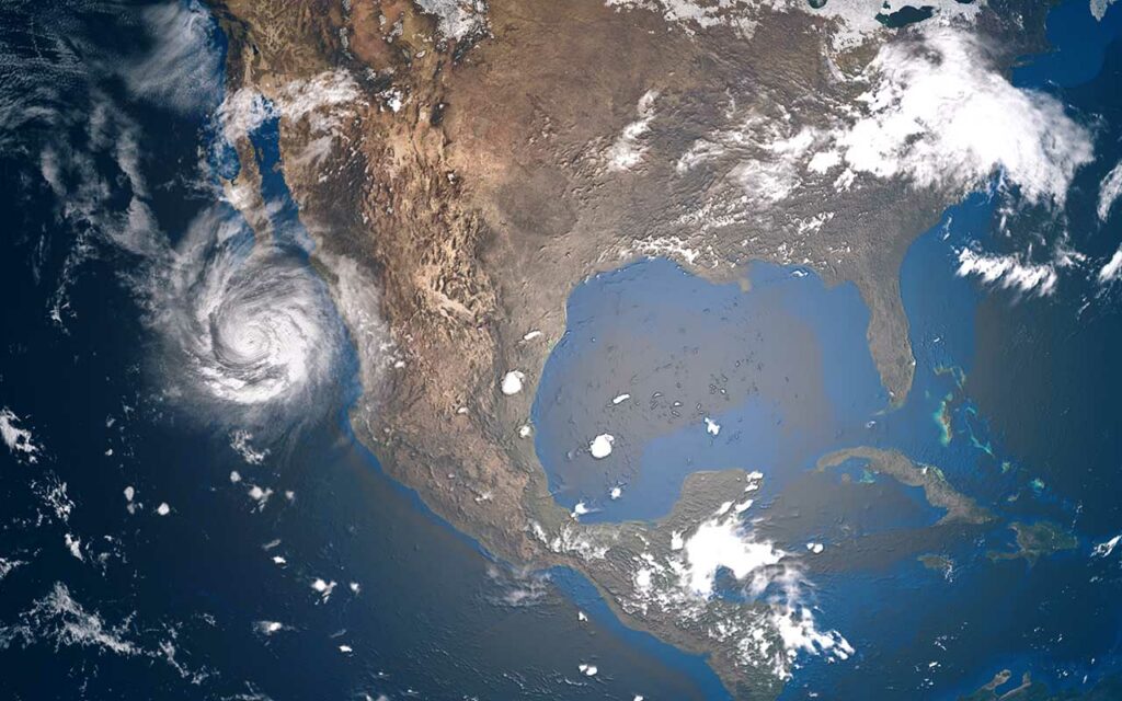
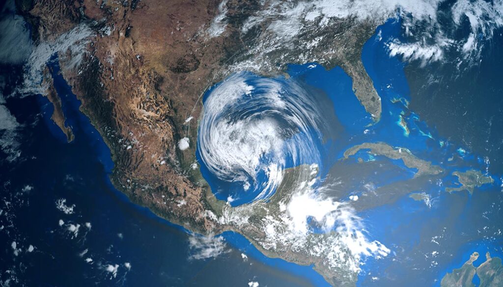
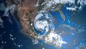
The National Hurricane Center (NHC) is watching a disturbance in the Caribbean that is expected to head to the southeastern Gulf of Mexico, KTBS reported. The storm is anticipated to move toward Mexico and Texas and is expected to remain quiet for the next 48 hours, NOLA reported. The NHC has given the disturbance a low 20% chance of formation within the next five days.


