Severe weather for the Midwest on Friday, heavy rain with potential flooding in the central West and along the Gulf, while the heat wave will ease slightly in some spots. A big end-of-summer ramp-up coming, plus the forecast.
Severe weather for the upper Midwest
The latest forecast from the Storm Prediction Center (SPC) shows a Level 2 severe weather risk for the upper Midwest over central and eastern North Dakota, northeastern South Dakota into western and south-central Minnesota. There is a marginal chance of severe weather slightly west over southern Montana into northern and northeastern Wyoming and western South Dakota, which could see significant storms regardless.
Heavy rain with potential flooding in the West and along the Gulf
The National Weather Service (NWS) has forecast scattered thunderstorms over the northern Rockies into parts of the Southwest, as well as over the Midwest, Great Lakes region, and Ohio Valley, and throughout the south and southeast along the Gulf states and East along the Atlantic from Florida to New Jersey.
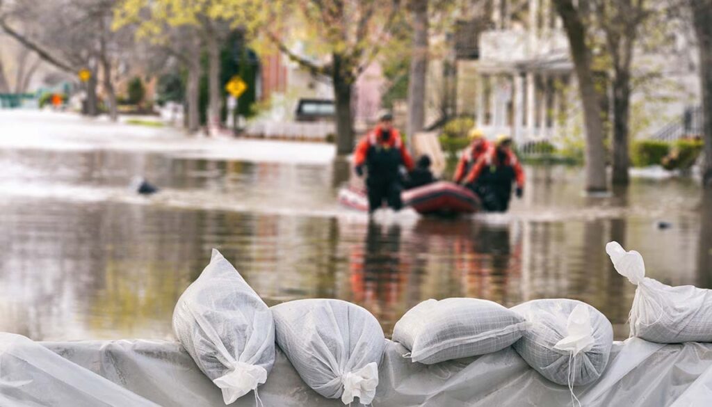
The NWS is warning of heavy rain with potential flash flooding over southern central and eastern Utah into Western and North Central Colorado. Along the Gulf, potential flash flooding for southeastern Louisiana and along the borders of Mississippi and Alabama extending along the Florida Panhandle into northern Florida.
The NWS has issued flood watches for central and southern Utah, southeastern Wyoming, western Nebraska, and northeastern and western Colorado.
Heat wave tapers slightly, but end of summer going out hot
Fewer heat warnings and parts of the West and Central US on Friday as temperatures ease slightly, but there are still some areas of concern. The NWS has issued the following heat-related alerts for Friday:
Excessive heat watch: California deserts, central and south-central Arizona.
Heat advisory: southern and eastern Nebraska; southwestern Iowa; central and eastern Kansas; central, eastern and the Panhandle of Oklahoma; northwestern Arkansas; northern Texas.
End of summer will bring heat wave
The final month of summer will be hot in many places, particularly for the central US and parts of the central US, South, Ohio Valley, Mid-Atlantic, and Northeast, according to the latest outlook from The Weather Channel.
Most above-average temperatures in August are forecast for the southern Plains, the western mid-South, and the Ohio Valley.
By state, the hottest areas will be Texas, Louisiana, Oklahoma, Arkansas, northern Mississippi, Kansas, Missouri, western Tennessee and Kentucky, southern and eastern Iowa, Illinois, Indiana, Ohio, as well as northern West Virginia, western Pennsylvania, southern Wisconsin, and southern and central Michigan.
The weekend forecast
Here is a look ahead at the Saturday and Sunday forecast from the National Weather Service.
Saturday forecast: Scattered thunderstorms across the nation with the biggest concentration over the upper Midwest, Ohio Valley, and Mid-Atlantic, and along the Atlantic from Massachusetts to Florida, as well as along the Gulf from Florida to Texas. Currently, no potential flash flooding in the Saturday forecast, only a marginal risk for strong weather for the upper Midwest, according to the SPC.
Sunday forecast: Scattered thunderstorms concentrated mainly over two fronts. The first is in the West extending from Montana to the southwest. The second front covers most of the eastern half of the United States from the central US to the Atlantic coast, as well as along the Gulf from Florida to Texas. No severe weather or potential flash flooding in the forecast.


