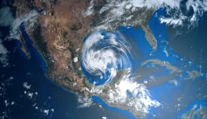
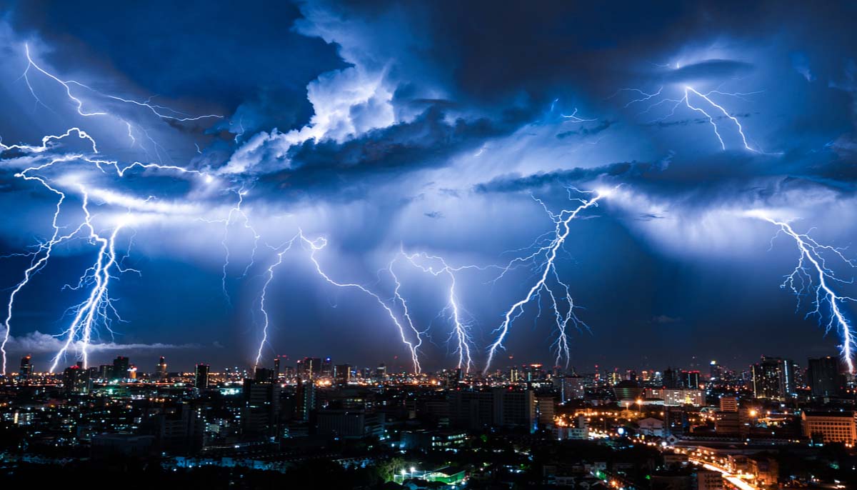
For the second day in a row, severe storms, heavy rain, and the threat of flooding will span nearly the entire lower 48, while a rare green sky courtesy of a derecho is freaking people out. Plus, today’s weather alerts and news.
Seeing these green skies is freaking people out
It looked like something out of a science fiction movie like the Hollywood blockbuster War of the Worlds, and it happened in the skies around Sioux Falls, South Dakota on Tuesday afternoon when a derecho swept through the area, tinting the sky from blue to an otherworldly green.
The storm brought high winds, hail, and heavy rain, but it was the ominous and very green sky that had people freaking out.
Tuesday’s derecho swept through five states, delivering 90 mph winds, hitting Iowa and South Dakota the hardest, where winds reached hurricane force, the Washington Post reported.
Numerous photos and videos showing the eerie green sky were posted like this one from Weather Nation on Twitter and this video from the Weather Channel.
Green skies don’t automatically mean a tornado
Weather Channel Meteorologist Ari Sarsalari refuted the common belief that a green sky means a tornado. Sarsalari called it a huge misconception, saying the phenomenon is related more to the moisture content in the clouds, as well as the position of the sun. You can hear his complete explanation here.
Severe weather stretches from Idaho to the Atlantic
For the second time in the same number of days, the risk of severe weather and flash flooding extends nearly the full width of the lower 48 with two particular trouble spots, one in the West and the other in the East, both with a Level 2 severe weather risk, according to the Storm Prediction Center (SPC).
The first severe weather front encompasses most of Montana, edging into the corners of southwestern North Dakota and northwestern South Dakota. Damaging winds and hail are the strongest threats, with a low chance of tornadoes.
The second severe weather front stretches from the Midwest into the mid-South, expanding into parts of the Southeast. The areas that could be impacted are northeastern Kansas, central and eastern Missouri; southern Illinois, southwestern Indiana, western and southern Kentucky, most of Tennessee, northeastern Alabama, northern and eastern Georgia, most of the Carolinas, and southern and southeastern Virginia. Damaging winds and hail are the biggest threats, with a low chance of tornadoes.
Flash flooding and flood watch
The National Weather Service (NWS) is warning of heavy rain that could bring potential flash flooding to a number of areas on Thursday including Montana, North Dakota, South Dakota, Iowa, Nebraska, Missouri, Illinois, Indiana, Kentucky, Tennessee, Virginia, North Carolina, and South Carolina.
The NWS issued a flood watch for central and eastern Montana, eastern Iowa, northwestern Illinois and northeastern Missouri.


