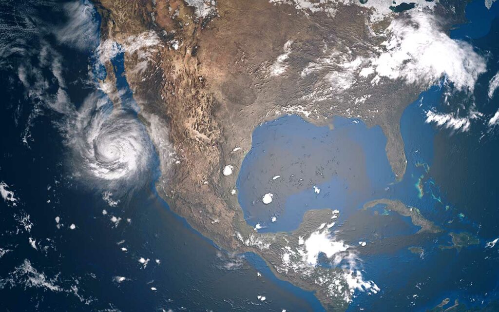
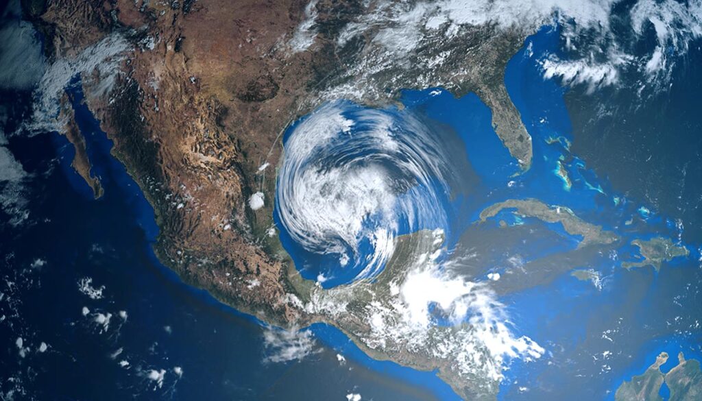
Thunderstorms will bring heavy rain with the potential of flooding to southern latitudes throughout the week. Expect severe weather around the Ohio Valley. Meanwhile, the heat continues to soar–and will a disturbance in the Gulf could become a hurricane?
Will the disturbance in the Gulf become a hurricane?
The National Hurricane Center (NHC) is watching an area of disturbed weather that spans from Florida to Texas, currently dubbed Disturbance 1. Currently, the NHC is rating the chances of tropical cyclone development at 30 percent over the next 5 days.
Scattered thunderstorms bring severe weather and flooding threat over next 3 days
Scattered thunderstorms this week will bring heavy rain with the potential of flooding to several areas, as well as the threat of severe weather.
Severe weather threats on Monday
The Storm Prediction Center (SPC) has issued a Level 2 severe weather risk over central, eastern, and northeastern Illinois; southern Lake Michigan; southern Michigan; central and northern Indiana; and northwestern Ohio. The greatest risks are damaging winds and large hail, with a low risk of tornadoes.
More severe weather coming this week
On Tuesday, look for a severe weather threat over portions of Virginia, Delaware, Maryland, Pennsylvania, New Jersey, New York, Connecticut, Massachusetts, Vermont, and New Hampshire.
Flash flooding threats on Monday
On Monday, potential flash flooding threatens southwestern South Carolina, across southern Georgia, and into northern Florida and southern Alabama.
In the West, heavy rain with potential flash flooding over central and south-central Colorado into north-central and northeastern New Mexico.
The National Weather Service (NWS) issued a flood watch on Monday for northern and central New Mexico.
Flood risk continues this week
On Wednesday, heavy rain with the potential of flash flooding is anticipated along the Gulf over Southern Mississippi and southeastern Louisiana, according to the NWS forecast.
Heat ramps up in central US, West
The heat is on this week, particularly for the West and central US. On Monday, Austin is expected to set a new record for one of its hottest days in history, as the current record rests at 108 degrees set in 1917. On Sunday, it reached 110 degrees, tying its hottest July day and the same mark is forecast for Monday, KVUE reported.
The National Weather Service (NWS) issued the following heat alerts on Monday for the central US and West:
Excessive heat warning: California deserts; northern, central, and southwestern Arizona; central and southern Texas.
Heat advisory for portions of southeast Washington; northeast and southwest Oregon; northern, central south-central California; southern Kansas; southeastern New Mexico; northern and central Oklahoma; central, western, eastern, and southern Texas; western and central Louisiana.


