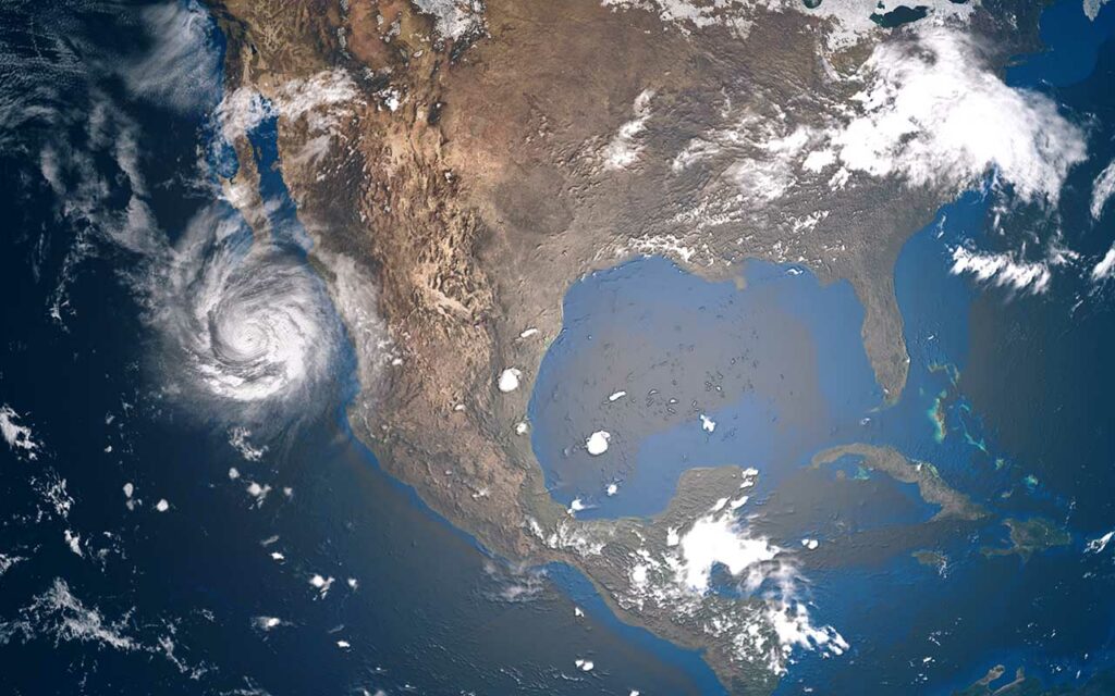
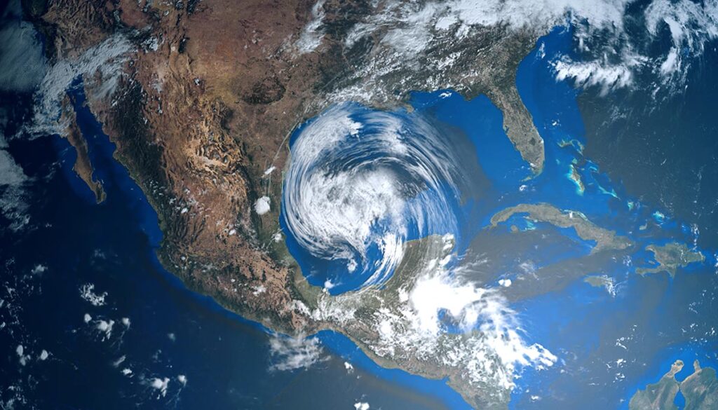
Thunderstorms over a significant swath of the nation today will bring the potential of severe weather on two separate fronts in the Northwest and Great Lakes region, while potential tropical development is brewing in the Gulf.
Widespread thunderstorms, severe weather possible on 2 fronts
Scattered thunderstorms will span a large swath of the nation on Tuesday over portions of the Northwest, upper Midwest, West, Southwest, South, and Southeast, as well as a second front over the upper Midwest and Great Lakes region.
The Storm Prediction Center (SPC) has identified two areas where potential severe weather could break out on Tuesday.
The first front is in the Northwest over central Montana with a Level 2 severe weather risk. The most significant threat is damaging winds. A lesser level 1 risk extends into portions of southeast Idaho and northwest Wyoming.
The second front is over the upper Midwest and Great Lakes region with a Level 2 severe weather risk over central and northern Wisconsin into northwestern Michigan. The most significant threat is damaging winds and hail, with a low chance of tornadoes. A lesser level 1 risk extends over most of northern Michigan and Wisconsin into east-central and southeastern Minnesota and northeastern Iowa.
NWS weather alerts
Here are the latest weather alerts by the National Weather Service (NWS) for Tuesday:
Excessive heat warning: northern Arizona.
Heat advisory: south-central and southwestern California.
Flood watch: southern New Mexico and extreme western Texas.
NHC closely watching tropical activity in Gulf and Atlantic
The National Hurricane Center (NHC) is keeping a close watch on three areas of disturbed weather in the Atlantic in the Gulf of Mexico.
Of immediate concern to the United States is a system dubbed Invest 95L by the NHC in the Gulf south of Louisiana and east of Texas. The system is suspected to track westward toward the Texan coast between Houston and Brownsville over the next couple of days, the Weather Channel reports.
This system of disturbed weather is designated as Disturbance 1 by the NHC and was upgraded slightly on Tuesday from earlier forecasts to a 30% chance of cyclone formation within the next 5 days.
According to the NHC, “Regardless of development, heavy rain will be possible along portions of the Texas coast later this week.”
There are two systems currently in the Atlantic. “Potential tropical cyclone two,” as designated by the NHC, is currently north of South America and nearing the midpoint of the continent, which will be within its cone on Wednesday and could pass over land between then and Thursday. The storm has a 70% chance of development over the next 48 hours and 90% chance of development over the next 5 days.
The third system in the central tropical Atlantic is designated Disturbance 2 and has a low 20% chance of cyclone formation in the next five days.


