Severe thunderstorms are likely from the south to the Mid-Atlantic, where a level 2 severe weather risk is present over several states. A Florida soaking is likely, with an 80% chance of tropical development in the Gulf this weekend.
Severe thunderstorms in Southwest, South, and Mid-Atlantic
Thunderstorms are forecast over parts of the Southwest, West, Midwest, South, Southeast, Ohio Valley, mid-Atlantic, and into the Northeast on Thursday. Two separate fronts are over the Northwest and the Great Lakes area but without risk of severe weather.
Flood alert in the Northwest
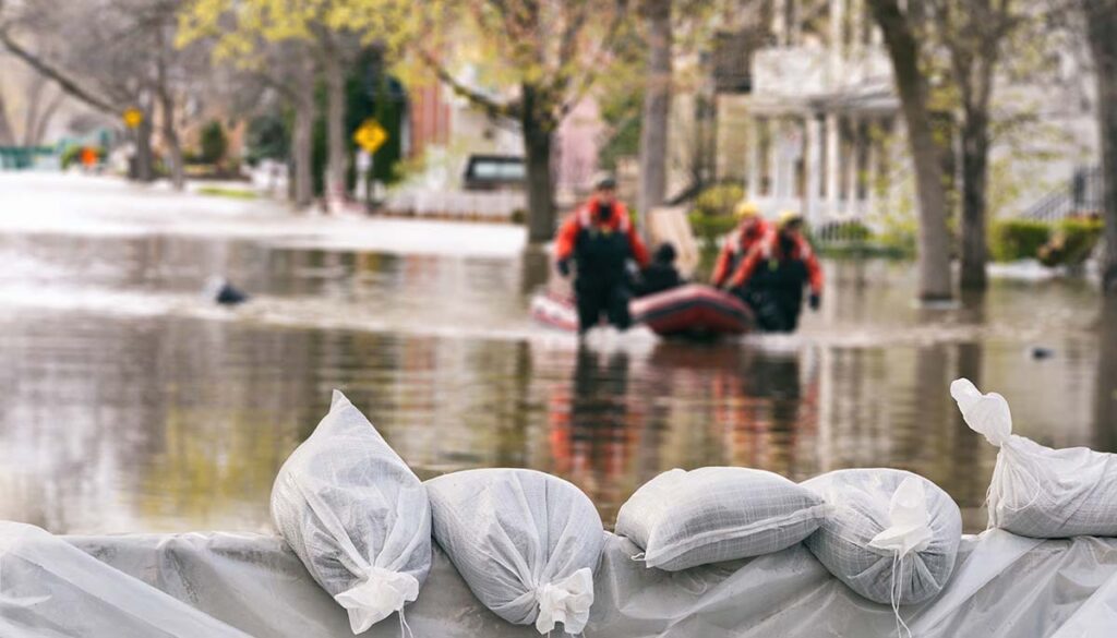
The National Weather Service (NWS) has issued a flood watch over central and eastern Washington into northern Idaho for Thursday.
Severe weather risk
The area of greatest concern is a Level 2 severe weather risk over central, eastern, and northern Virginia, into northwestern West Virginia, Maryland, Delaware, southeastern Pennsylvania, and southern New Jersey. Strong to severe storms throughout the day, but especially overnight, the Weather Channel reports. Damaging winds and large hail are the main concerns, with the timing for the mid-Atlantic around 11 PM ET or later.
A Level 1 severe weather risk over portions of Colorado, New Mexico, and western Texas, as well as over eastern Texas into Arkansas, Louisiana, Mississippi, Alabama, Tennessee, Georgia, South Carolina, North Carolina, Kentucky, Virginia, Ohio, West Virginia, Maryland, Delaware, New Jersey, and Pennsylvania, according to the Storm Prediction Center (SPC).
Friday forecast
Friday will see more of the same with thunderstorms in the same areas except moved out of the mid-Atlantic. The greatest area of concern will be over eastern and northeastern New Mexico into northern Texas with a Level 2 severe weather risk.
Heavy rain with the possibility of flash flooding is forecast over southern Florida.
Florida soaking: Tropical storm development has 80% chance of development in the Gulf over weekend
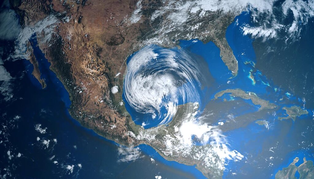
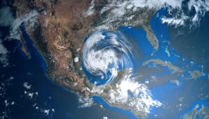
Florida should expect a soaking on Friday, whether or not a tropical depression or storm develops in the Gulf of Mexico. However, forecasters are giving the area of low pressure and disturbed weather, currently named Invest 91L, an 80% chance of development within the next five days, the Weather Channel reports. The storm is also forecast to soak portions of Cuba and the Bahamas into the weekend.
The name Invest 91L reflects a naming convention used by meteorologists from the National Hurricane Center (NHC) to identify an area of disturbed weather that has the potential to form into a tropical depression or tropical storm, according to the Weather Channel. However, if the system develops into a tropical storm, the name will become Alex, the first on the list of names for the 2022 Atlantic hurricane season.


