After several areas had a brief reprieve, heat is set to return big time and already spiking in the West. No severe storms are in the forecast, but there is a flash flooding risk in the Southwest. Meteorologists warn of three areas of possible tropical development.
Weather outlook for Monday
Scattered storms are headed over the upper Midwest, Southwest, South, and Southeast. Storms will also range along the Atlantic coast over the Mid-Atlantic and Northeast from Florida all the way to Maine. No severe weather is in the forecast, however.
Heavy rain with the potential of flash flooding over east-central Arizona into western, central, and northern New Mexico.
NWS weather alerts
The National Weather Service (NWS) has issued the following weather alerts for Monday:
Flood watch: northern and central New Mexico.
Heat advisory: western, central, and southwestern Washington; central Idaho; western Montana; western and southern Oregon; northern, south-central, southern, and southwestern California.
Heat expected to return in a big way
After a temporary reprieve from a cold front over the weekend, another heat wave is on the way as we move toward the start of July, bringing some very hot temperatures, the Weather Channel reports.
Starting on July 1 and through the first week of the month, temperatures for the Midwest, South, mid-South, and Southeast will be in the much-above-average range, while temperatures for the northern Rockies, upper Midwest, Ohio Valley, and Mid-Atlantic will all be above-average. With July already one of the hottest months of the year, above-average temperatures mean sweltering conditions. In the first week of July, the hottest areas are expected to be central and eastern Texas, southern and southeastern Oklahoma, western and southern Arkansas, and Northwestern Louisiana.
In the West, temperatures for southern Oregon, western Nevada, and northern and central California will be below average. Below-average temperatures are also expected for eastern Arizona, western and central New Mexico, as well as around the Great Lakes states and Northeast.
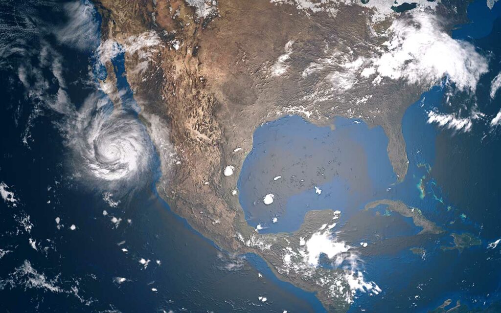
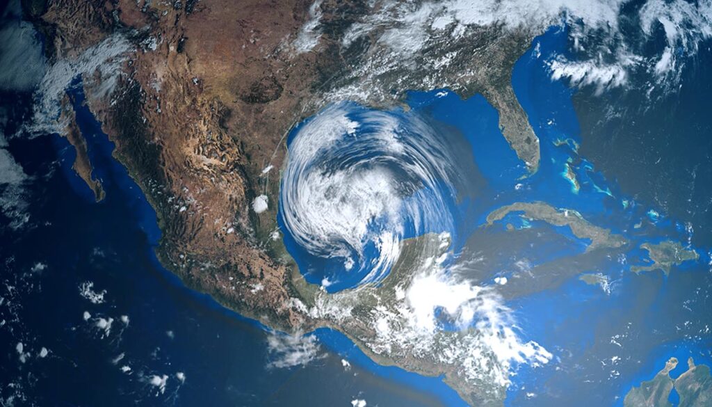
NHC watching 3 systems for tropical development in the Gulf, Atlantic
For nearly a month, the 2022 Atlantic hurricane season has been fairly quiet. But as we near the end of June, the lull is over and now the National Hurricane Center (NHC) is watching three areas of disturbance – two in the Atlantic and one in the Gulf – for potential tropical development, the Weather Channel reports.
In the Atlantic, Disturbance #1 is east of South America, has a 90% chance of development in the next 5 days. It is expected to track toward Central America, according to the NHC.
Disturbance #2 is in the Gulf near Louisiana and only has a 20% chance of development. It is expected to track toward southern Texas near Mexico.
Disturbance #3 is roughly halfway in between West Africa and South America and the Atlantic, with a 20% chance of development in the next 5 days. It is moving toward the Caribbean.


