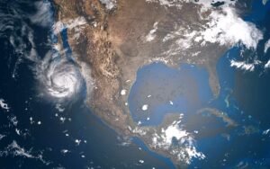
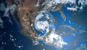
The NOAA released its 2022 Atlantic hurricane season forecast warning of a “turbocharged” year of heightened activity, NASA views “sharkcano” volcanic eruption, severe weather, flooding risk in Ohio Valley and the South.
NOAA releases 2022 Atlantic hurricane season forecast
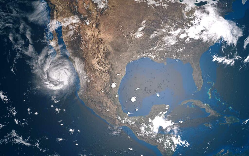
The National Oceanic and Atmospheric Administration (NOAA) released its annual forecast for the Atlantic hurricane season, stating that 2022 will see above-average activity is described as “turbocharged.”
The NOAA forecast marks the seventh year in a row the agency has predicted an above-average hurricane season. June 1 marks the official start of the Atlantic hurricane season, which runs through November 30.
“Loop Current” could stir up a Katrina-sized monster storm
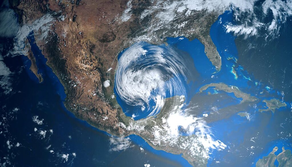
Even direr, one meteorologist described the Loop Current. This factor drives highly energized cyclones, as the “the 800-pound gorilla of Gulf hurricane risks” as being extended and could “spell disaster” from Texas to Florida, Sky News reported.
“When the Loop Current is extended, it eventually sheds a large eddy, or Ring, which then drifts westward, whereas the Loop Current retracts to the south,” the NOAA said.
The Loop Current in 2005 is considered to be what powered up the devastating Hurricane Katrina as it passed through the Straits of Florida into a category 5 hurricane.
Hurricane predictions for 2022
The NOAA is forecasting between 14-21 total named storms, 6-10 of which it expects to form into hurricanes, with 3-6 of those developing into major hurricanes (Category 3 or higher), the Weather Channel reported.
What’s an average hurricane season?
Based on updated data on a 30-year average from the years 1991 to 2020, The newest NOAA updated average for the Atlantic hurricane season is as follows:
· 14 named storms
· 7 hurricanes
· 3 major hurricanes (Category 3 or greater).
Severe weather brings thunderstorms and flooding risks to the South and Ohio Valley on Wednesday
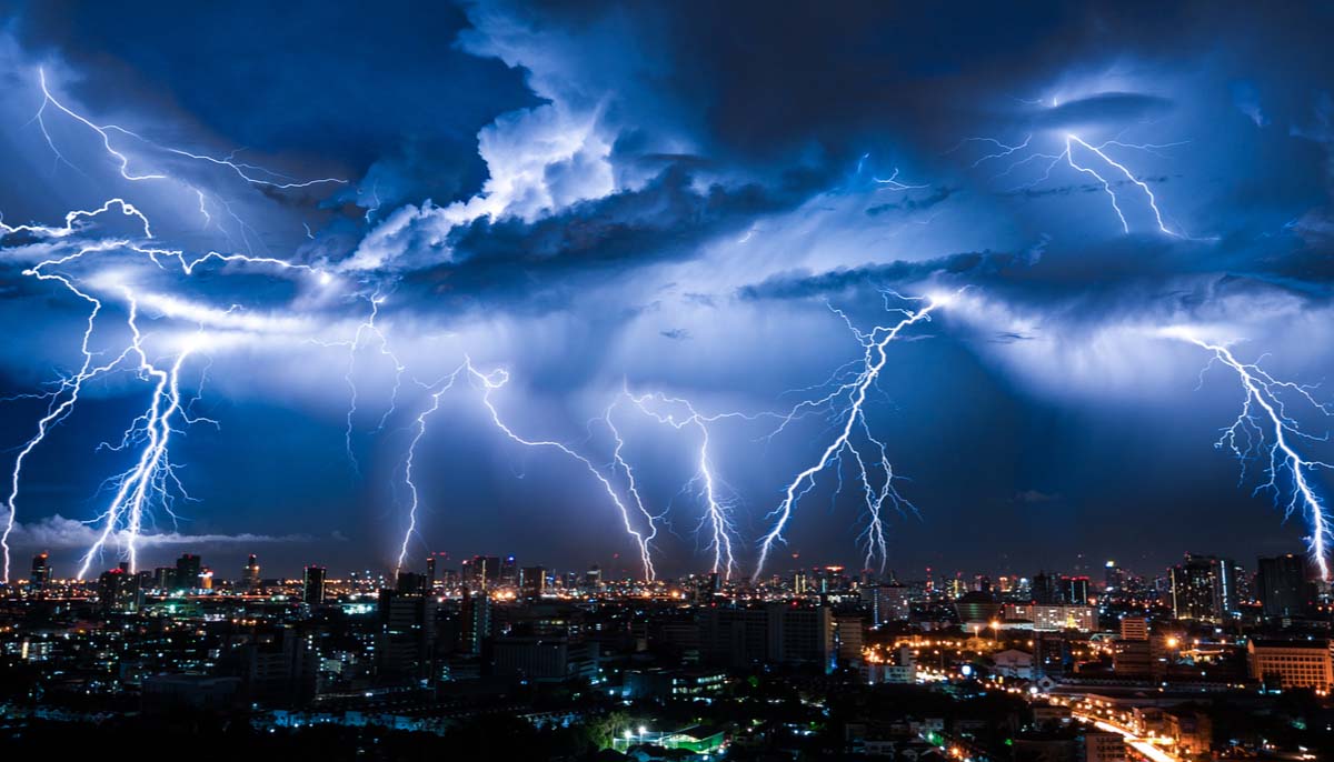
Severe weather on two fronts for Wednesday will stretch from the Gulf of Mexico to Lake Michigan.
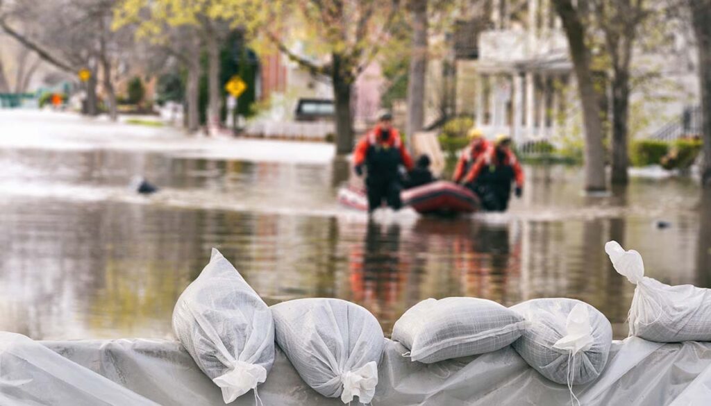
The first front is in the South, where the National Weather Service (NWS) has issued a flood watch along the Gulf of Mexico stretching along Louisiana’s coast, over Mississippi, Alabama, and the western Florida Panhandle. A severe thunderstorm watch and severe thunderstorm warnings have been issued for southeastern Louisiana into southern and central Mississippi.
A Level 2 severe weather risk has been issued by the Storm Prediction Center (SPC) for southeastern Louisiana, southern and central Mississippi, eastern Alabama, and the western Florida Panhandle.
In the Ohio Valley, Wednesday’s second storm front will bring a Level 2 severe weather risk over northeastern Illinois, central and northern Indiana, northwestern Ohio, southwestern Michigan, and the southern extreme of Lake Michigan.
“Sharkcano” volcanic eruption seen from space by NASA
NASA released a view from space on Wednesday showing the eruption of the Kavachi volcano in the Solomon Islands, one of the most active underwater volcanoes in the Pacific Ocean, which occurred earlier in May, the Weather Channel reported. The volcano has been nicknamed “sharkcano,” which came after a 2015 study found two species of sharks living in the hot, highly acidic waters inside its crater.


