Thunderstorms throughout the week will span from the Midwest into the Northeast bringing potential severe weather and a risk of flash flooding in the southern plains, while Tropical Storm Alex could form late week.
Severe weather in Midwest, South, and Northeast throughout the week
On Tuesday through Thursday, thunderstorms will hover over the majority of the nation bringing the possibility of severe weather and flash flooding, to the Midwest, South, Ohio Valley, mid-Atlantic, and Northeast, according to the latest forecasts from the National Weather Service (NWS).
On Tuesday, the threat stretches from Texas all the way to Michigan, with storms becoming most active in the late afternoon into the evening around dinnertime, the Weather Channel reports.
Severe Weather Outlook for Tuesday:
The greatest area of concern is a Level 3 enhanced risk of severe weather spanning from northern Texas into Western and Northern Oklahoma, and into southeastern Kansas, according to the latest forecasts from the Storm Prediction Center (SPC).
A Level 3 Severe Weather Risk is defined as numerous, widespread severe and intense storms with the possibility of likely significant wind damage, large hail between 1-2 inches, and a few isolated tornadoes.
A Level 2 slight risk of severe weather stretches from northern Texas over much of Oklahoma, southeastern Kansas, into Michigan, Iowa, Illinois, Wisconsin, Indiana, and Michigan.
A Level 1 marginal risk of severe weather stretches from Western Texas into northern Michigan, as well as a level 1 risk over portions of New York, Connecticut, Massachusetts, Vermont, and New Hampshire.
NWS flood watch: The National Weather Service (NWS) has issued a flood watch over central and northern Oklahoma; southern, southeastern, and northeastern Kansas; West-central and northwestern Missouri.
Wednesday: Severe weather on two fronts
A Level 1 severe weather risk stretches from Western Texas and New Mexico into New York, Massachusetts, and Vermont. The greatest areas of concern are two separate storm fronts bringing a Level 2 severe weather risk. The first is over southeastern New Mexico, northern Texas, into western and Central Oklahoma. A second front stretches from Indiana, across Ohio, into Pennsylvania, and much of New York, according to the latest forecast by the SPC.
Thursday: Severe weather over Southeast & mid-Atlantic
A Level 1 severe weather risk stretches from Central Texas into the mid-Atlantic. The greatest areas of concern are a Level 2 severe weather risk over central and northern Virginia, Maryland, Delaware, Washington, D.C., southeastern Pennsylvania, and southern New Jersey, according to the SPC.
Tropical storm Alex could soak Florida late week
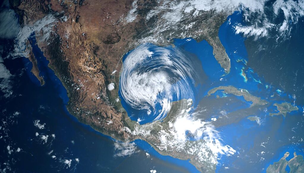
A tropical depression or storm could develop in the Gulf of Mexico as the first week of hurricane season kicks off beginning June 1, and deliver a soaking to parts of Cuba and Florida from the late week into the weekend, the Weather Channel reports. Forecasts suggest the system will develop into a named storm, becoming Alex, the first name on the list for the 2022 Atlantic hurricane season. Currently, the storm is over southern Mexico and is expected to move toward Cancún.


