We hear TV meteorologists throw around many strange terms, depending on where you live in the US. There may be some you’ve never heard, like Virga, haboob, or Fujiwhara effect. Find out what these mean!
Ghostly Virga
Here’s something you’ve probably seen but have never felt. You know how you looked up and have seen those feathery streaks extending from the base of clouds, showing paths of rain or ice falling down. According to the National Weather Service (NWS), That’s what’s called Virga. It’s also referred to as ghostly precipitation because it evaporates before becoming water vapor. It’s rain or ice that never reaches the ground. It’s called ghostly because it shows up on radar as a typical rain or snow shower, but there is no evidence of it reaching the surface.
Haboob
If you watched the National Geographic or travel channel, you might have heard about haboobs – powerful dust storms – in northern Africa. But it’s not something to familiar with most people who live in the US, except those in the Southwest. In fact, they are pretty common in Arizona.
According to the NWS: “Haboobs form when a thunderstorm collapses and either all the air it collected is blown out in powerful gusts, or the air within it cools and falls rapidly to the surface in a microburst.”
The strong wind released by a haboob pushes out front of the storm where it picks up dust and debris, forming a wall that can span thousands of feet in height and miles across and with.
Haboob safety
When a haboob comes through, it’s not something you can outrun – it’s too massive. If you see a haboob in the distance, start looking for a safe place indoors to take shelter until it passes. Ensure you turn off all AC units so that dust doesn’t get pulled inside, and close all windows.
If you are driving, look for a safe place to pull over and get off the roadway as soon as possible. According to the NOAA, haul your vehicle as far off the pavement as possible. Get away from trees and power lines.
Fujiwhara Effect
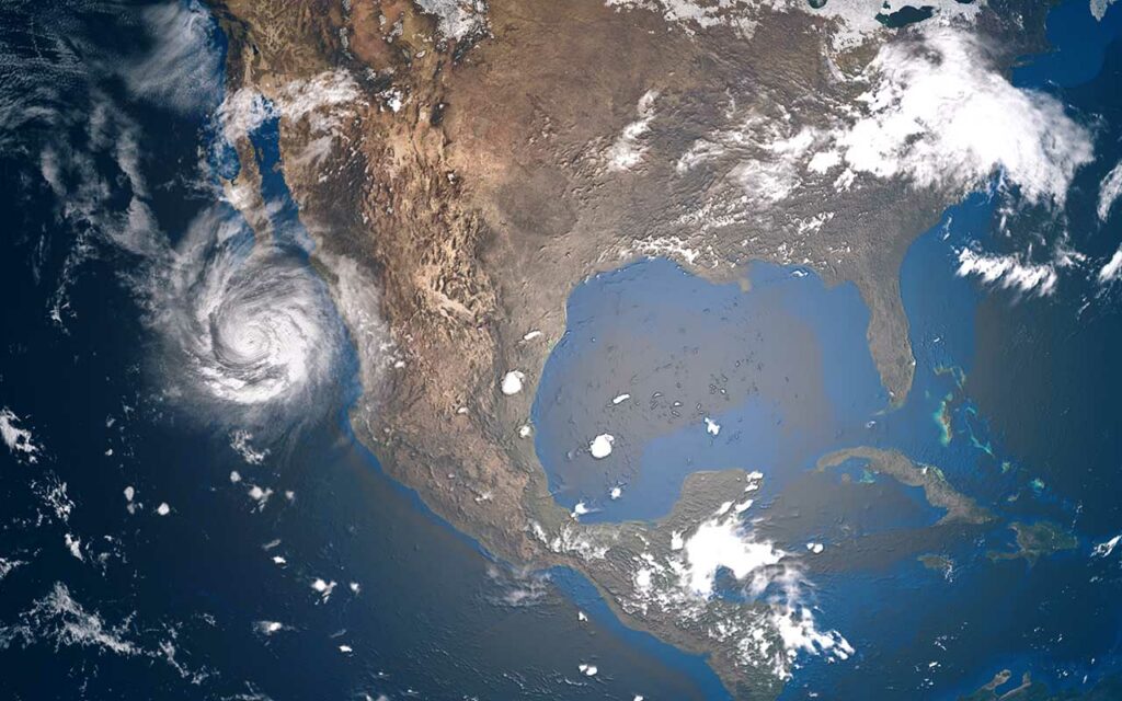
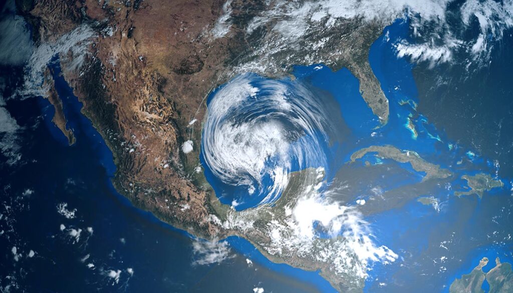
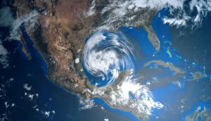
The Fujiwhara Effect describes when two hurricanes that are spinning in the same direction pass close enough within each other that they suddenly begin dancing around a common center. If one storm is significantly stronger than the other, it will cause the smaller one to orbit it, eventually pulling it into its vortex to be absorbed. However, when this strength is more evenly matched, they can spend until they reach a common point, merge, or spin each other around and shoot off in their own separate paths. However, the result is often one massive storm instead of two smaller ones.
The last time this occurred was in 2020 when hurricanes Laura and Marco came near one another, leading to two overlapping forecast cones on production maps. The Gulf Coast was dreading a massive hit, but luckily, wind shear ripped Marco apart as it neared the northern Gulf coast of southeastern Louisiana.
This also occurred in 2017, when Hurricane Erwin collided with Hurricane Hilary. The two merged and faded out over the ocean.


